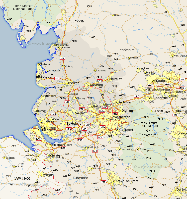
Lancashire Map Showing Location of Chequerbent
District: Bolton
Easting: 367980 Northing: 406065
Latitude: 53.55 Longitude: -2.48
 = Chequerbent
Easting: 367980 Northing: 406065
Latitude: 53.55 Longitude: -2.48
= Chequerbent
This Chequerbent map below is supplied by Google. Use the tools in the top left corner to zoom into street level or zoom out for a road map, you may also need to zoom in to see Chequerbent on the map. Click and drag the map to move around. If the map fails to load try and refresh your browser or zoom in or out (+ or -).
Update - it seems Google no longer allow people to use their maps for free! This Chequerbent map sometimes loads and sometimes gives a error. I am working on a solution.
Closest 30 Towns or Cities to Chequerbent (Population over 500)
Westhoughton 2.2km Tyldesley 3.86km Atherton 3.86km Bolton 4.96km Farnworth 5.5km Walkden 6.64km Hindley 6.86km Kearsley 6.86km Horwich 7.09km Blackrod 7.57km Abram 7.58km Little Lever 7.71km Leigh 7.73km Bradshaw 7.82km Bromley Cross 7.82km Haigh 8.63km Ince-in-Makerfield 9km Wigan 9km Ince 9km Adlington 9.5km Radcliffe 9.91km Swinton 10.42km Pendlebury 10.58km Turton 10.77km Tottington 11.36km Golborne 12.06km Whitefield 12.11km Eccles 12.38km Standish 12.66km Coppull 13.27km