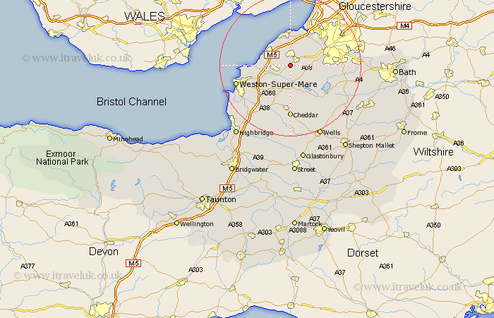
Somerset Map Showing Location of Chelvey
Easting: 346672 Northing: 167108
Latitude: 51.4 Longitude: -2.77
 = Chelvey
Latitude: 51.4 Longitude: -2.77
= Chelvey
This Chelvey map below is supplied by Google. Use the tools in the top left corner to zoom into street level or zoom out for a road map, you may also need to zoom in to see Chelvey on the map. Click and drag the map to move around. If the map fails to load try and refresh your browser or zoom in or out (+ or -).
Update - it seems Google no longer allow people to use their maps for free! This Chelvey map sometimes loads and sometimes gives a error. I am working on a solution.
Closest 30 Towns or Cities to Chelvey (Population over 500)
Wrington 3.7km Nailsea 3.7km Yatton 3.94km Congresbury 4.37km Bourton 4.98km Flax Bourton 4.98km Wraxall 6.02km Clevedon 6.86km Portishead 7.42km Weston Down 7.77km Weston in Gordano 7.77km Weston 7.77km Churchill 7.77km Portbury 8.19km Blagdon 8.19km Winford 8.31km Sandford 8.74km Long Ashton 8.9km Dundry 9.25km Wick St. Lawrence 10.57km Wick St Lawrence 10.57km Wick Saint Lawrence 10.57km Chew Stoke 10.8km Locking 10.98km Great Chew 11.05km Chew Magna 11.05km Shipham 11.36km Banwell 11.58km Axbridge 13.18km Compton Martin 13.76km