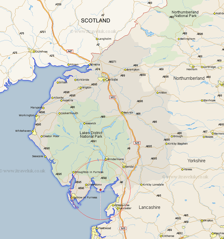
Cumbria Map Showing Location of Cark
District: South Lakeland
Easting: 336895 Northing: 474995
Latitude: 54.17 Longitude: -2.97
 = Cark
Easting: 336895 Northing: 474995
Latitude: 54.17 Longitude: -2.97
= Cark
This Cark map below is supplied by Google. Use the tools in the top left corner to zoom into street level or zoom out for a road map, you may also need to zoom in to see Cark on the map. Click and drag the map to move around. If the map fails to load try and refresh your browser or zoom in or out (+ or -).
Update - it seems Google no longer allow people to use their maps for free! This Cark map sometimes loads and sometimes gives a error. I am working on a solution.
Closest 30 Towns or Cities to Cark (Population over 500)
Holker 1.85km Lower Holker 1.85km Haverthwaite 8.09km Arnside 8.87km Ulverstone 9.43km Ulverston 9.43km Great Urswick 9.94km Aldingham 10.31km Pennington 11km Lindal in Furness 11.93km Lindal 11.93km Colton 12.37km Dalton 13.15km Dalton in Furness 13.15km Beetham 13.53km Milnthorpe 14.15km Heversham 14.97km Levens 15.1km Askam 16.37km Askam in Furness 16.37km Holme 16.38km Isle of Walney 19.7km Millom 19.87km Natland 19.95km Kendall 21.83km Kendal 21.83km Hawkshead 22.34km Windermere 22.47km Conistan 23.17km Coniston 23.17km