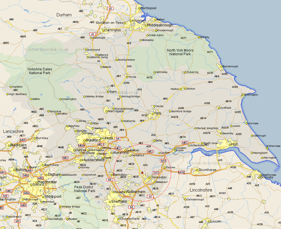
Yorkshire Map Showing Location of Carcroft
Population: 8354
Area Size (ha): 233
District: Doncaster
Easting: 454080 Northing: 408124
Latitude: 53.57 Longitude: -1.18
 = Carcroft
Area Size (ha): 233
District: Doncaster
Easting: 454080 Northing: 408124
Latitude: 53.57 Longitude: -1.18
= Carcroft
This Carcroft map below is supplied by Google. Use the tools in the top left corner to zoom into street level or zoom out for a road map, you may also need to zoom in to see Carcroft on the map. Click and drag the map to move around. If the map fails to load try and refresh your browser or zoom in or out (+ or -).
Update - it seems Google no longer allow people to use their maps for free! This Carcroft map sometimes loads and sometimes gives a error. I am working on a solution.
Closest 30 Towns or Cities to Carcroft (Population over 500)
Sutton 3.86km Bentley 4.32km Campsall 5.56km Doncaster 5.76km Brodsworth 5.81km Askern 6.46km South Elmsall 6.85km Kirk Sandall 6.86km North Elmsall 7.09km South Kirkby 7.3km Norton 7.41km Warmsworth 7.42km Sprotbrough 7.5km Sprotboro 7.5km Barnby Don 7.7km Barnby Dun 7.7km Moorthorpe 7.92km Dearne 8.56km Upton 8.63km Badsworth 9.5km Armthorpe 9.56km Stainforth 10.57km Fleckney 10.58km Bessacarr 10.63km Mexborough 10.79km Great Houghton 11.16km Houghton 11.16km Wadsworth 11.34km Wadworth 11.34km Conisborough 11.34km