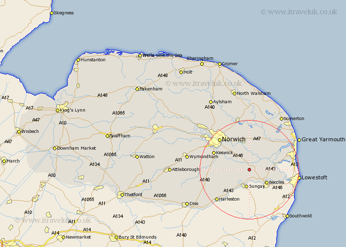
Norfolk Map Showing Location of Loddon
Population: 2855
Area Size (ha): 105
District: South Norfolk
Easting: 635179 Northing: 296665
Latitude: 52.52 Longitude: 1.47
 = Loddon
Area Size (ha): 105
District: South Norfolk
Easting: 635179 Northing: 296665
Latitude: 52.52 Longitude: 1.47
= Loddon
This Loddon map below is supplied by Google. Use the tools in the top left corner to zoom into street level or zoom out for a road map, you may also need to zoom in to see Loddon on the map. Click and drag the map to move around. If the map fails to load try and refresh your browser or zoom in or out (+ or -).
Update - it seems Google no longer allow people to use their maps for free! This Loddon map sometimes loads and sometimes gives a error. I am working on a solution.
Closest 30 Towns or Cities to Loddon (Population over 500)
Chedgrave 2.92km Thurton 4.34km Ellingham 5.67km Ditchingham 6km Cantley 6.51km Brooke 6.75km Thurlton 7.01km Reedham 7.71km Earsham 8.15km Poringland 8.72km Freethorpe 9.31km Blofield 11.18km Lingwood 11.18km Brundall 11.35km Fritton 11.43km Hempnall 11.43km Stoke Holy Cross 11.87km Saxlingham Thorpe 13.66km Saxlingham 13.66km Acle 14.14km Thorpe Saint Andrew 15.18km Thorpe next Norwich 15.18km Thorpe Episcopi 15.18km Thorpe 15.18km Thorpe St. Andrew 15.18km Thorpe St Andrew 15.18km Great Plumstead 15.49km South Walsham 15.49km Belton 15.67km Swardeston 15.67km