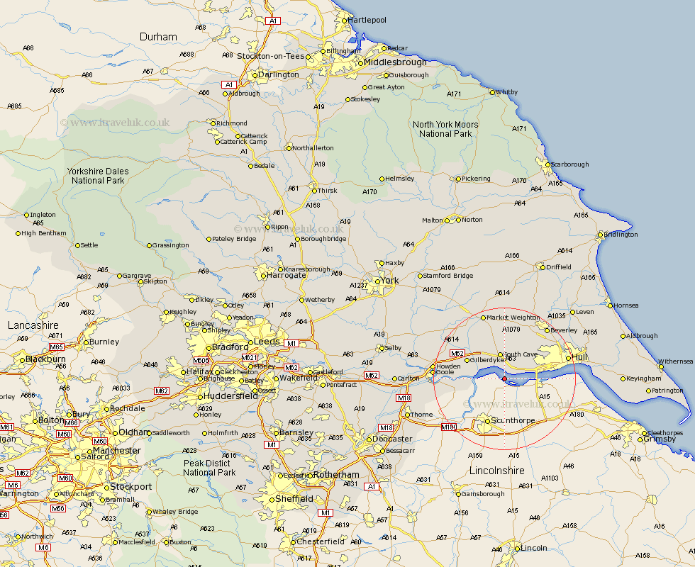
Yorkshire Map Showing Location of Brough
Population: 6618
Area Size (ha): 392
Easting: 493516 Northing: 423575
Latitude: 53.7 Longitude: -0.58
 = Brough
Area Size (ha): 392
Easting: 493516 Northing: 423575
Latitude: 53.7 Longitude: -0.58
= Brough
This Brough map below is supplied by Google. Use the tools in the top left corner to zoom into street level or zoom out for a road map, you may also need to zoom in to see Brough on the map. Click and drag the map to move around. If the map fails to load try and refresh your browser or zoom in or out (+ or -).
Update - it seems Google no longer allow people to use their maps for free! This Brough map sometimes loads and sometimes gives a error. I am working on a solution.
Closest 30 Towns or Cities to Brough (Population over 500)
Welton 3.86km North Ferriby 5.79km Ferriby 5.79km Newport 6.46km South Cave 7.5km Swanland 7.55km North Cave 8.62km Hessle 10.05km Barton upon Humber 10.05km Barton 10.05km Kirk Ella 10.38km Anlaby 10.54km Willerby 11.49km Skidby 12.03km Eastrington 14.28km Bishop Burton 15.8km Cottingham 16.09km Kingston upon Hull 16.56km Swinefleet 16.57km Hull 17.61km Hook 17.65km Beverley 18.43km Woodmansey 18.47km Goole 18.74km Wawne 18.95km Howden 19.01km Holme upon Spalding Moor 19.1km Holme 19.1km Cherry Burton 19.33km Market Weighton 19.33km