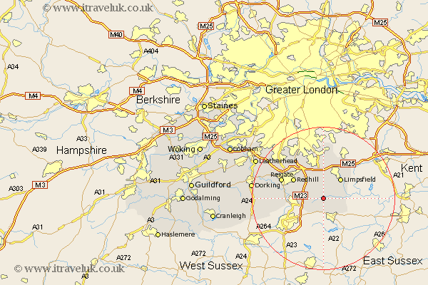
Surrey Map Showing Location of Blindley Heath
District: Tandridge
Easting: 536272 Northing: 144539
Latitude: 51.18 Longitude: -0.05
 = Blindley Heath
Easting: 536272 Northing: 144539
Latitude: 51.18 Longitude: -0.05
= Blindley Heath
This Blindley Heath map below is supplied by Google. Use the tools in the top left corner to zoom into street level or zoom out for a road map, you may also need to zoom in to see Blindley Heath on the map. Click and drag the map to move around. If the map fails to load try and refresh your browser or zoom in or out (+ or -).
Update - it seems Google no longer allow people to use their maps for free! This Blindley Heath map sometimes loads and sometimes gives a error. I am working on a solution.
Closest 30 Towns or Cities to Blindley Heath (Population over 500)
Horne 2.18km Lingfield 2.97km Godstone 5.68km Tandridge 5.68km Nutfield 5.95km Oxted 6.03km Bletchingley 6.56km Burstow 6.56km Limpsfield 7.24km Felbridge 7.5km Salfords 8.34km Horley 8.34km Caterham 9.56km Redhill 9.85km Woldingham 11.18km Charlwood 12.2km Tatsfield 12.55km Reigate 12.87km Leigh 12.91km Warlingham 12.98km Farley 14.88km Farleigh 14.88km Betchworth 15km Buckland 15km Whyteleafe 15.01km Newdigate 16.69km Banstead 16.91km Tadworth 16.93km Holmwood 18.59km Capel 19.41km