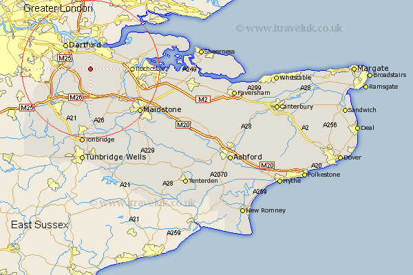
Kent Map Showing Location of Longfield
Population: 16855
Area Size (ha): 455
District: Dartford
Easting: 561191 Northing: 167518
Latitude: 51.38 Longitude: 0.32
 = Longfield
Area Size (ha): 455
District: Dartford
Easting: 561191 Northing: 167518
Latitude: 51.38 Longitude: 0.32
= Longfield
This Longfield map below is supplied by Google. Use the tools in the top left corner to zoom into street level or zoom out for a road map, you may also need to zoom in to see Longfield on the map. Click and drag the map to move around. If the map fails to load try and refresh your browser or zoom in or out (+ or -).
Update - it seems Google no longer allow people to use their maps for free! This Longfield map sometimes loads and sometimes gives a error. I am working on a solution.
Closest 30 Towns or Cities to Longfield (Population over 500)
Hartley 1.85km Southfleet 1.86km Ash 3.88km Meopham 3.93km Ridley 5.56km Swanscombe 5.56km Northfleet 5.68km Cobham 5.78km Stonewood 6.02km Gravesend 6.55km Darenth 6.87km Farningham 7.18km West Kingsdown 7.23km Eynsford 7.87km Shorne 8.31km Wilmington 8.91km Wrotham 9.26km Cuxton 9.97km Dartford 10.15km Hextable 10.17km Ryarsh 10.35km Swanley 10.41km Kemsing 10.92km Snodland 10.98km Borough Green 11.18km Offham 11.65km Higham 11.8km Rochester 11.8km Wouldham 11.81km Shoreham 11.86km