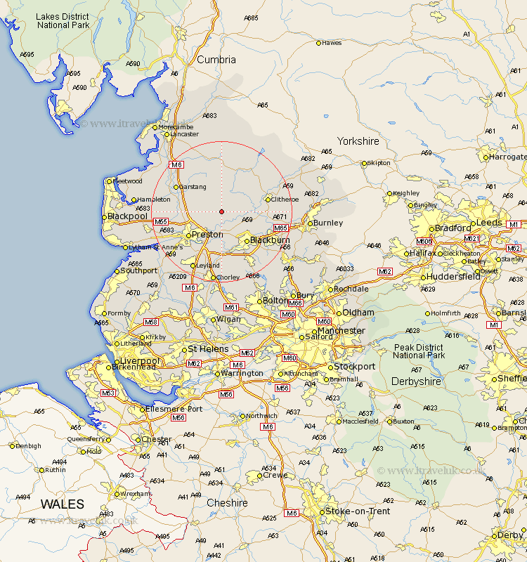
Lancashire Map Showing Location of Longridge
Population: 650
Area Size (ha): 18
District: Ribble Valley
Easting: 361614 Northing: 437630
Latitude: 53.83 Longitude: -2.58
 = Longridge
Area Size (ha): 18
District: Ribble Valley
Easting: 361614 Northing: 437630
Latitude: 53.83 Longitude: -2.58
= Longridge
This Longridge map below is supplied by Google. Use the tools in the top left corner to zoom into street level or zoom out for a road map, you may also need to zoom in to see Longridge on the map. Click and drag the map to move around. If the map fails to load try and refresh your browser or zoom in or out (+ or -).
Update - it seems Google no longer allow people to use their maps for free! This Longridge map sometimes loads and sometimes gives a error. I am working on a solution.
Closest 30 Towns or Cities to Longridge (Population over 500)
Ribchester 4.95km Grimsargh 4.95km Chipping 5.56km Goosnargh 5.77km Samlesbury 7.72km Mellor 8.1km Wilpshire 8.6km Claughton 9.5km Claughton on Brock 9.5km Claughton-on-Brock 9.5km Langho 9.5km Barton 10.02km Broughton 10.02km Whalley 11.09km Blackburn 11.35km Preston 11.47km Woodplumpton 11.55km Waddington 12.26km Great Harwood 12.27km Clitheroe 12.59km Catterall 12.59km Hoghton 12.97km Penwortham 13.52km Garstang 14.13km Rishton 14.34km Withnell 14.98km Farrington 15.06km Farington 15.06km Clayton le Moor 15.08km Clayton le Moors 15.08km