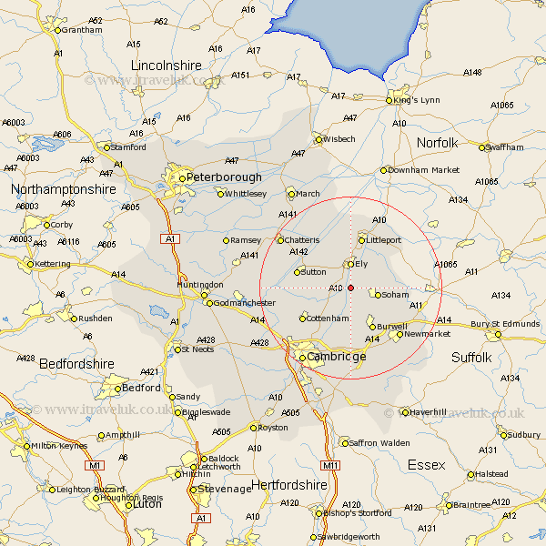
Cambridgeshire Map Showing Location of Barway
District: East Cambridgeshire
Easting: 554366 Northing: 274897
Latitude: 52.35 Longitude: 0.27
 = Barway
Easting: 554366 Northing: 274897
Latitude: 52.35 Longitude: 0.27
= Barway
This Barway map below is supplied by Google. Use the tools in the top left corner to zoom into street level or zoom out for a road map, you may also need to zoom in to see Barway on the map. Click and drag the map to move around. If the map fails to load try and refresh your browser or zoom in or out (+ or -).
Update - it seems Google no longer allow people to use their maps for free! This Barway map sometimes loads and sometimes gives a error. I am working on a solution.
Closest 30 Towns or Cities to Barway (Population over 500)
Stretham 3.87km Ely 5.56km Witchford 5.85km Soham 5.96km Wicken 6km Wilburton 6.79km Haddenham 7.92km Downham 9.33km Burwell 10.31km Isleham 10.36km Fordham 10.63km Littleport 11.35km Swaffham Prior 11.35km Mepal 11.6km Sutton 11.91km Waterbeach 12.48km Cottenham 12.61km Chippenham 12.62km Swaffham Bulbeck 13.03km Willingham 14.08km Bottisham 14.82km Milton 15.21km Manea 15.87km Histon 15.88km Oakington 16.45km Long Stanton 16.49km Earith 16.98km Bluntisham 16.98km Colne 17.08km Over 17.39km