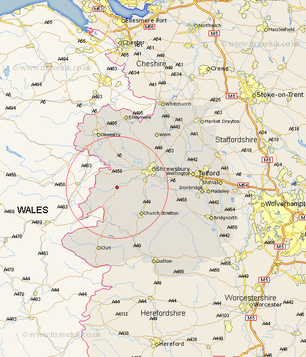
Shropshire Map Showing Location of Asterley
District: Shrewsbury and Atcham
Easting: 336865 Northing: 306255
Latitude: 52.65 Longitude: -2.93
 = Asterley
Easting: 336865 Northing: 306255
Latitude: 52.65 Longitude: -2.93
= Asterley
This Asterley map below is supplied by Google. Use the tools in the top left corner to zoom into street level or zoom out for a road map, you may also need to zoom in to see Asterley on the map. Click and drag the map to move around. If the map fails to load try and refresh your browser or zoom in or out (+ or -).
Update - it seems Google no longer allow people to use their maps for free! This Asterley map sometimes loads and sometimes gives a error. I am working on a solution.
Closest 30 Towns or Cities to Asterley (Population over 500)
Minsterley 1.86km Pontesbury 3.37km Westbury 3.87km Alberbury 7.5km Shelve 8.15km Hanwood 8.69km Great Hanwood 8.69km Ford 9.3km Bicton 12.15km Condover 12.37km Baystonhill 12.5km Chirbury 12.55km Chirburg 12.55km Great Ness 13.17km Church Stretton 14.31km Kinnerley 15.2km Shrewsbury 15.39km Baschurch 15.49km Berrington 15.74km Pant 17.33km West Felton 18.84km Hadnall 19.53km Llanyblodwel 20.03km Lydbury North 20.41km North Lydbury 20.41km Rushbury 20.83km Wistanstow 21.15km Cressage 21.45km Cockshut 22.94km Cockshutt 22.94km