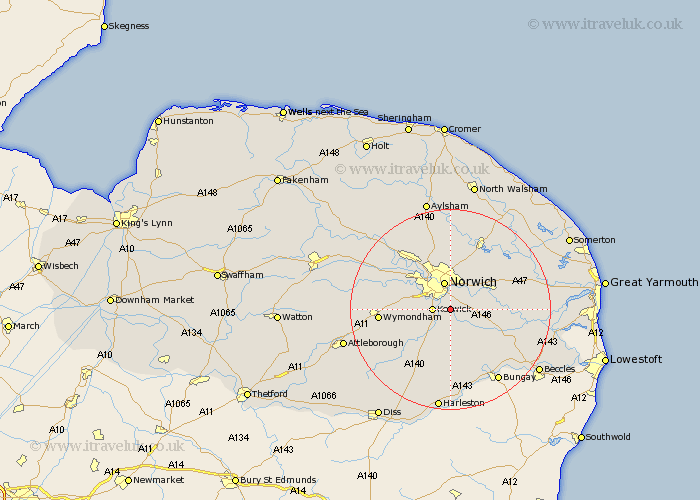
Norfolk Map Showing Location of Arminghall
District: South Norfolk
Easting: 624665 Northing: 303594
Latitude: 52.58 Longitude: 1.32
 = Arminghall
Easting: 624665 Northing: 303594
Latitude: 52.58 Longitude: 1.32
= Arminghall
This Arminghall map below is supplied by Google. Use the tools in the top left corner to zoom into street level or zoom out for a road map, you may also need to zoom in to see Arminghall on the map. Click and drag the map to move around. If the map fails to load try and refresh your browser or zoom in or out (+ or -).
Update - it seems Google no longer allow people to use their maps for free! This Arminghall map sometimes loads and sometimes gives a error. I am working on a solution.
Closest 30 Towns or Cities to Arminghall (Population over 500)
Stoke Holy Cross 3.87km Poringland 4.33km Swardeston 4.87km Cringleford 4.87km Norwich 5.67km Brooke 5.83km Thorpe 6km Thorpe next Norwich 6km Thorpe Episcopi 6km Thorpe St. Andrew 6km Thorpe St Andrew 6km Thorpe Saint Andrew 6km Saxlingham 6.51km Saxlingham Thorpe 6.51km Mulbarton 6.74km Hellesdon 7.15km Brundall 8.71km Thurton 8.71km Hethersett 9.2km Great Plumstead 9.31km Hempnall 9.33km Spixworth 9.34km Blofield 9.74km Costessey 10.03km Ashwellthorpe 10.59km Horsham 11.35km Horsham St Faith 11.35km Horsham St. Faith 11.35km Horsham Saint Faith 11.35km Drayton 11.47km