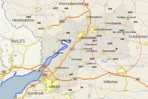
Gloucestershire Map Showing Location of Arlington
District: Cotswold
Easting: 411504 Northing: 205764
Latitude: 51.75 Longitude: -1.83
 = Arlington
Easting: 411504 Northing: 205764
Latitude: 51.75 Longitude: -1.83
= Arlington
This Arlington map below is supplied by Google. Use the tools in the top left corner to zoom into street level or zoom out for a road map, you may also need to zoom in to see Arlington on the map. Click and drag the map to move around. If the map fails to load try and refresh your browser or zoom in or out (+ or -).
Update - it seems Google no longer allow people to use their maps for free! This Arlington map sometimes loads and sometimes gives a error. I am working on a solution.
Closest 30 Towns or Cities to Arlington (Population over 500)
Bibury 1.15km Quenington 5.06km Ampney St Peter 6.54km Ampney 6.54km Ampney Saint Peter 6.54km Ampney St. Peter 6.54km Fairford 6.54km Chedworth 7.99km Northleach 9.33km North Cerney 9.36km Kempsford 10.34km Cicester 10.49km Cirencester 10.49km Lechlade 10.74km South Cerney 10.9km Cerney 10.9km Siddington 10.94km Withington 12.25km Bourton on the Water 14.18km Bourton-on-the-Water 14.18km Andoversford 15.25km Bledington 20.22km Charlton Kings 20.63km Stow-on-the-Wold 21.51km Stow on the Wold 21.51km Leckhampton 21.54km Chalford 23.03km Shurdington 23.41km Minchinhampton 23.62km Winchcombe 23.64km