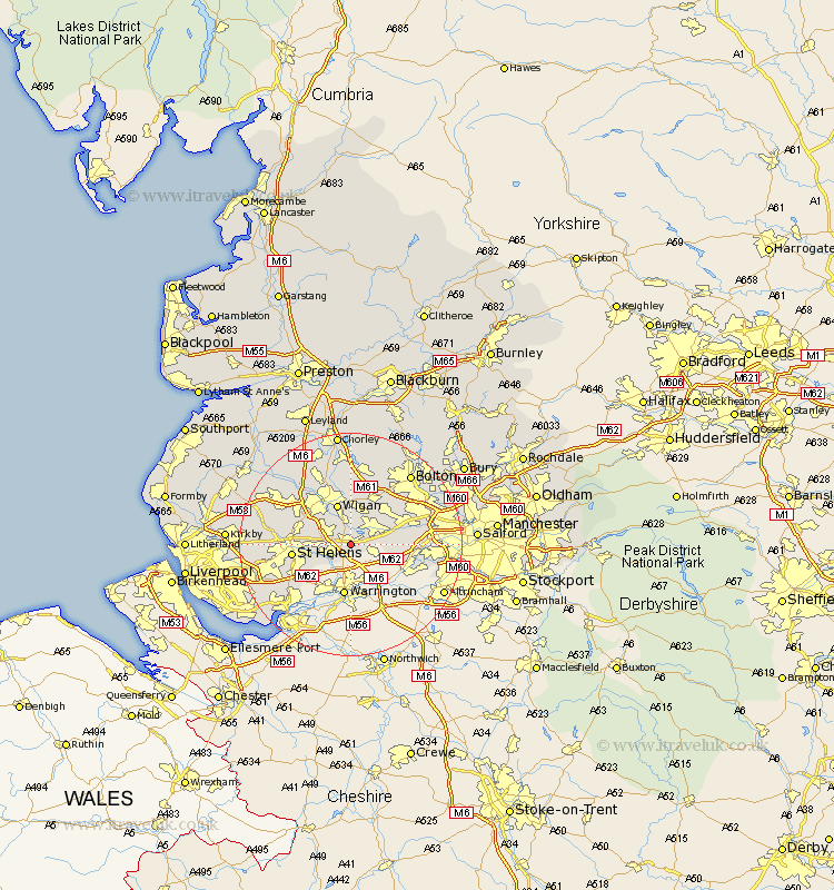
Lancashire Map Showing Location of Lowton
District: Wigan
Easting: 361279 Northing: 396848
Latitude: 53.47 Longitude: -2.58
 = Lowton
Easting: 361279 Northing: 396848
Latitude: 53.47 Longitude: -2.58
= Lowton
This Lowton map below is supplied by Google. Use the tools in the top left corner to zoom into street level or zoom out for a road map, you may also need to zoom in to see Lowton on the map. Click and drag the map to move around. If the map fails to load try and refresh your browser or zoom in or out (+ or -).
Update - it seems Google no longer allow people to use their maps for free! This Lowton map sometimes loads and sometimes gives a error. I am working on a solution.
Closest 30 Towns or Cities to Lowton (Population over 500)
Golborne 1.1km Ashton in Makerfield 4.78km Ashton 4.78km Leigh 4.78km Haydock 5.52km Abram 5.56km Hindley 7.41km Wigan 7.73km Ince-in-Makerfield 7.73km Ince 7.73km Atherton 7.83km Billinge 8.56km Tyldesley 9.51km Saint Helens 10.1km St. Helens 10.1km St Helens 10.1km Westhoughton 10.26km Irlam 11.64km Shevington 12.94km Blackrod 12.97km Walkden 13.34km Eccleston 13.37km Standish 14.09km Appley Bridge 14.19km Rainhull 14.23km Rainhill 14.23km Haigh 14.82km Adlington 14.86km Horwich 14.99km Kearsley 15.16km