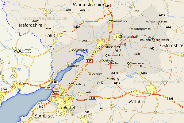
Gloucestershire Map Showing Location of Ampney Saint Mary
District: Cotswold
Easting: 409209 Northing: 202056
Latitude: 51.72 Longitude: -1.87
 = Ampney Saint Mary
Easting: 409209 Northing: 202056
Latitude: 51.72 Longitude: -1.87
= Ampney Saint Mary
This Ampney Saint Mary map below is supplied by Google. Use the tools in the top left corner to zoom into street level or zoom out for a road map, you may also need to zoom in to see Ampney Saint Mary on the map. Click and drag the map to move around. If the map fails to load try and refresh your browser or zoom in or out (+ or -).
Update - it seems Google no longer allow people to use their maps for free! This Ampney Saint Mary map sometimes loads and sometimes gives a error. I am working on a solution.
Closest 30 Towns or Cities to Ampney Saint Mary (Population over 500)
Ampney St. Peter 2.18km Ampney Saint Peter 2.18km Ampney St Peter 2.18km Ampney 2.18km Bibury 5.06km Quenington 5.74km Fairford 6.04km South Cerney 6.54km Cerney 6.54km Siddington 6.84km Cirencester 8.24km Cicester 8.24km North Cerney 8.85km Kempsford 8.86km Chedworth 9.88km Lechlade 11.63km Northleach 13.41km Withington 14.18km Andoversford 17.64km Bourton on the Water 18.51km Bourton-on-the-Water 18.51km Chalford 20.74km Minchinhampton 20.75km Avening 21.01km Charlton Kings 21.62km Leckhampton 22.37km Tetbury 22.67km Painswick 23.02km Stroud 23.25km Nailsworth 23.27km