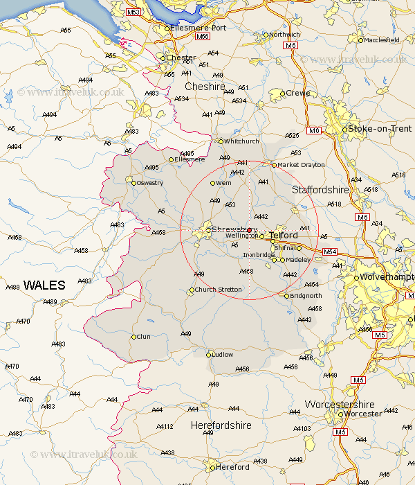
Shropshire Map Showing Location of Allscott
Easting: 361725 Northing: 313415
Latitude: 52.72 Longitude: -2.57
 = Allscott
Latitude: 52.72 Longitude: -2.57
= Allscott
This Allscott map below is supplied by Google. Use the tools in the top left corner to zoom into street level or zoom out for a road map, you may also need to zoom in to see Allscott on the map. Click and drag the map to move around. If the map fails to load try and refresh your browser or zoom in or out (+ or -).
Update - it seems Google no longer allow people to use their maps for free! This Allscott map sometimes loads and sometimes gives a error. I am working on a solution.
Closest 30 Towns or Cities to Allscott (Population over 500)
Wrockwardine 1.86km Rodington 3.84km Wellington 3.85km High Ercall 4.33km Ercall Magna 4.33km Ketley 5.91km Hadley 5.91km Trench 6.74km Telford 7.13km Cherrington 7.15km Dawley 8.74km Downington 8.98km Donnington 8.98km Oakengates 9.17km Shawbury 9.29km Cressage 9.87km Shrewsbury 11.23km Lilleshall 11.38km Ironbridge 11.47km Hadnall 11.53km Edgmond 11.53km Berrington 11.65km Stanton upon Hine Heath 12.45km Stanton 12.45km Broseley 12.46km Madeley 12.92km Much Wenlock 13.02km Chetwynd 13.44km Baystonhill 13.55km Newport 14.39km