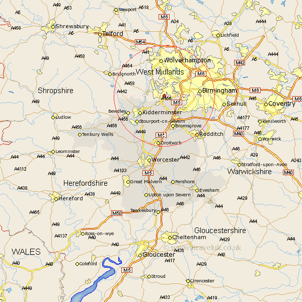
Worcestershire Map Showing Location of Lye
District: Dudley
Easting: 392071 Northing: 283607
Latitude: 52.45 Longitude: -2.12
 = Lye
= Lye
Easting: 392071 Northing: 283607
Latitude: 52.45 Longitude: -2.12
= Lye
This Lye map below is supplied by Google. Use the tools in the top left corner to zoom into street level or zoom out for a road map, you may also need to zoom in to see Lye on the map. Click and drag the map to move around. If the map fails to load try and refresh your browser or zoom in or out (+ or -).
Update - it seems Google no longer allow people to use their maps for free! This Lye map sometimes loads and sometimes gives a error. I am working on a solution.
Closest 30 Towns or Cities to Lye (Population over 500)
Hagley 1.86km Stourbridge 2.17km Clent 3.7km Netherton 4.34km Halesowen 4.52km Belbroughton 5.56km Churchill 5.84km Romsley 5.84km Oldbury 8.76km Lickey End 10.31km Lickey 10.31km Stone 10.85km Dodford 11.18km Great Dodford 11.18km Chaddesley Corbett 11.62km Kidderminster 11.69km Cofton Hackett 12.95km Coston Hackett 12.95km Bromsgrove 13.41km Barnt Green 14.33km Stourport-on-Severn 15.07km Stourport on Severn 15.07km Stourport 15.07km Hartlebury 15.2km Bewdley 15.46km Arley 15.92km Upper Arley 15.92km Stoke Prior 17.02km Alvechurch 17.21km Droitwich 20.51km