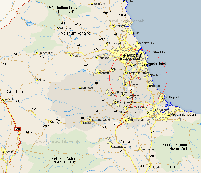
Durham Map Showing Location of Hetton Le Hole
Population: 13383
Area Size (ha): 270
District: Sunderland
Easting: 435339 Northing: 547020
Latitude: 54.82 Longitude: -1.45
 = Hetton Le Hole
Area Size (ha): 270
District: Sunderland
Easting: 435339 Northing: 547020
Latitude: 54.82 Longitude: -1.45
= Hetton Le Hole
This Hetton Le Hole map below is supplied by Google. Use the tools in the top left corner to zoom into street level or zoom out for a road map, you may also need to zoom in to see Hetton Le Hole on the map. Click and drag the map to move around. If the map fails to load try and refresh your browser or zoom in or out (+ or -).
Update - it seems Google no longer allow people to use their maps for free! This Hetton Le Hole map sometimes loads and sometimes gives a error. I am working on a solution.
Closest 30 Towns or Cities to Hetton Le Hole (Population over 500)
Murton 2.13km Pittington 2.83km West Rainton 3.2km South Hetton 3.7km Houghton le Spring 3.85km Haswell 4.28km Seaton 4.65km Dalton 5.34km Dalton le Dale 5.34km Sherburn 5.96km Shotton 6.51km Easington 6.79km Thornley 7.49km Seaham 7.51km Seaham Harbour 7.51km Shincliffe 7.71km Chester-le-Street 8.34km Peterlee 8.94km Durham 9.32km Washington 10.2km Washington New Town 10.2km Bowburn 10.21km Wingate 10.21km Birtley 10.52km Sacriston 10.68km Pelton 11.1km Hesleden 11.32km Sunderland 11.41km Coxhoe 11.57km Witton Gilbert 11.89km