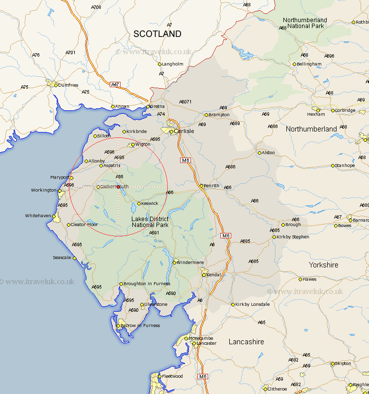
Cumbria Map Showing Location of Bassenthwaite Lake Station
Population: 412
District: Allerdale
Easting: 320462 Northing: 530891
Latitude: 54.67 Longitude: -3.23
 = Bassenthwaite Lake Station
District: Allerdale
Easting: 320462 Northing: 530891
Latitude: 54.67 Longitude: -3.23
= Bassenthwaite Lake Station
This Bassenthwaite Lake Station map below is supplied by Google. Use the tools in the top left corner to zoom into street level or zoom out for a road map, you may also need to zoom in to see Bassenthwaite Lake Station on the map. Click and drag the map to move around. If the map fails to load try and refresh your browser or zoom in or out (+ or -).
Update - it seems Google no longer allow people to use their maps for free! This Bassenthwaite Lake Station map sometimes loads and sometimes gives a error. I am working on a solution.
Closest 30 Towns or Cities to Bassenthwaite Lake Station (Population over 500)
Cockermouth 7.5km Bridekirk 8.77km Koswick 10.55km Keswick 10.55km Aspatria 11.27km Brigham 11.94km Dearham 13.38km Caldbeck 13.91km Westward 14.47km Crosscanonby 14.83km Dean 14.86km Bromfield 14.98km Broughton Moor 15.12km Lamplugh 15.45km Hesket Newmarket 15.77km Maryport 17.54km Flimby 18.31km Wigton 19.28km Distington 21.42km Workington 21.52km Frizington 21.89km Thursby 21.94km Greystoke 23.66km Silloth 23.83km Skelton 23.86km Kirkbride 24.18km Lowca 24.36km Dalston 24.51km Cleator Moor 24.73km Parton 25.13km