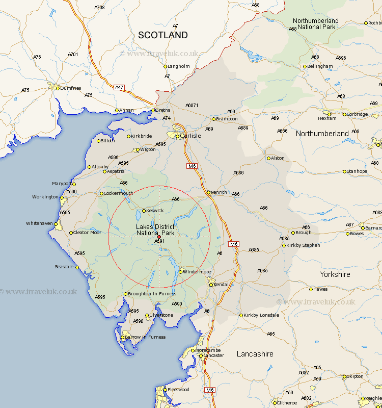
Cumbria Map Showing Location of Wythburn
Population: 407
District: Allerdale
Easting: 333087 Northing: 512136
Latitude: 54.5 Longitude: -3.03
 = Wythburn
District: Allerdale
Easting: 333087 Northing: 512136
Latitude: 54.5 Longitude: -3.03
= Wythburn
This Wythburn map below is supplied by Google. Use the tools in the top left corner to zoom into street level or zoom out for a road map, you may also need to zoom in to see Wythburn on the map. Click and drag the map to move around. If the map fails to load try and refresh your browser or zoom in or out (+ or -).
Update - it seems Google no longer allow people to use their maps for free! This Wythburn map sometimes loads and sometimes gives a error. I am working on a solution.
Closest 30 Towns or Cities to Wythburn (Population over 500)
Ambleside 10.22km Koswick 12.35km Keswick 12.35km Hawkshead 14.98km Conistan 14.98km Coniston 14.98km Windermere 16.63km Dacre 18.29km Greystoke 19.84km Staveley 20.4km Shap 23.74km Skelton 24.69km Lamplugh 24.79km Hesket Newmarket 25.96km Caldbeck 25.96km Colton 25.96km Kendal 27.42km Kendall 27.42km Cockermouth 27.57km Dean 28.09km Gosforth 28.15km Crosby Ravensworth 29.11km Frizington 29.28km Bridekirk 29.61km Haverthwaite 29.67km Brigham 29.81km Orton 30.37km Tebay 30.53km Natland 30.95km Langwathby 31.2km