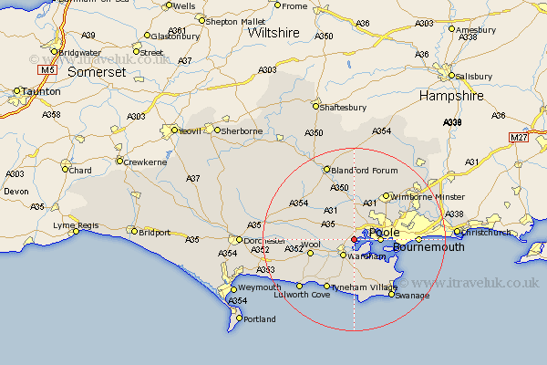
Dorset Map Showing Location of Holton Heath Station
Population: 1265
District: Purbeck
Easting: 394117 Northing: 90852
Latitude: 50.72 Longitude: -2.08
 = Holton Heath Station
District: Purbeck
Easting: 394117 Northing: 90852
Latitude: 50.72 Longitude: -2.08
= Holton Heath Station
This Holton Heath Station map below is supplied by Google. Use the tools in the top left corner to zoom into street level or zoom out for a road map, you may also need to zoom in to see Holton Heath Station on the map. Click and drag the map to move around. If the map fails to load try and refresh your browser or zoom in or out (+ or -).
Update - it seems Google no longer allow people to use their maps for free! This Holton Heath Station map sometimes loads and sometimes gives a error. I am working on a solution.
Closest 30 Towns or Cities to Holton Heath Station (Population over 500)
Lytchett Matravers 3.88km Arne 3.98km Wareham 4.39km Poole 5.87km Sturminster Marshall 7.5km Corfe Mullen 8.2km Corfe Castle 9.57km Winterborne Kingston 9.91km Wool 9.97km Bere Regis 10.09km Spetisbury 11.36km Bovington Camp 11.88km Wimborne Minster 12.53km Wimborne 12.53km Worth 13.45km Worth Matravers 13.45km Langton Matravers 13.8km Whitechurch 14.04km Studland 14.06km Bournemouth 14.08km Winfrith Newburgh 14.89km Winfrith 14.89km Milborne St Andrew 15.13km Milborne 15.13km Milborne Saint Andrew 15.13km Milborne St. Andrew 15.13km Swanage 15.36km West Lulworth 16.17km Lulworth Cove 16.17km West Parley 16.23km