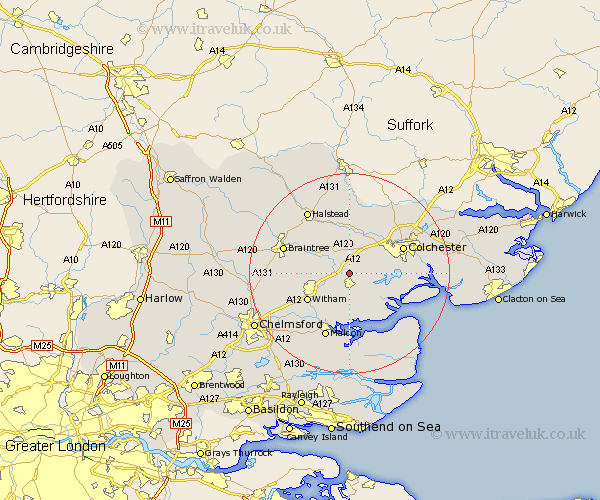
Essex Map Showing Location of Messing
District: Colchester
Easting: 589454 Northing: 218590
Latitude: 51.83 Longitude: 0.75
 = Messing
Easting: 589454 Northing: 218590
Latitude: 51.83 Longitude: 0.75
= Messing
This Messing map below is supplied by Google. Use the tools in the top left corner to zoom into street level or zoom out for a road map, you may also need to zoom in to see Messing on the map. Click and drag the map to move around. If the map fails to load try and refresh your browser or zoom in or out (+ or -).
Update - it seems Google no longer allow people to use their maps for free! This Messing map sometimes loads and sometimes gives a error. I am working on a solution.
Closest 30 Towns or Cities to Messing (Population over 500)
Feering 2.95km Kelvedon 3.44km Tiptree 3.88km Copford 3.9km Marks Tey 4.36km Birch 4.58km Totham 5.05km Great Totham 5.05km Rivenhall 5.73km Coggeshall 5.9km Tolleshunt Knights 6.01km Layer de la Haye 6.87km Great Tey 7.42km Wickham Bishops 7.98km Tolleshunt D'Arcy 8.17km Wakes Colne 9.27km Tolleshunt Major 9.33km Chapel 9.34km Chappel 9.34km Witham 9.76km Bradwell 9.88km Fordham 9.89km Cressing 10.47km Peldon 10.47km Stisted 10.71km Tollesbury 10.89km West Bergholt 10.9km Goldhanger 11.12km Earls Colne 11.64km Colchester 11.71km