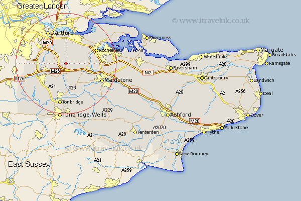
Kent Map Showing Location of Ridley
Population: 7070
District: Sevenoaks
Easting: 561367 Northing: 161959
Latitude: 51.33 Longitude: 0.32
 = Ridley
District: Sevenoaks
Easting: 561367 Northing: 161959
Latitude: 51.33 Longitude: 0.32
= Ridley
This Ridley map below is supplied by Google. Use the tools in the top left corner to zoom into street level or zoom out for a road map, you may also need to zoom in to see Ridley on the map. Click and drag the map to move around. If the map fails to load try and refresh your browser or zoom in or out (+ or -).
Update - it seems Google no longer allow people to use their maps for free! This Ridley map sometimes loads and sometimes gives a error. I am working on a solution.
Closest 30 Towns or Cities to Ridley (Population over 500)
Ash 2.19km Wrotham 3.7km Hartley 3.71km West Kingsdown 4.63km Meopham 5.08km Longfield 5.56km Borough Green 5.68km Ryarsh 5.93km Offham 6.56km Kemsing 6.87km Eynsford 7.19km Southfleet 7.42km Farningham 7.88km Cobham 8.02km West Malling 8.03km Addington 8.03km Snodland 8.31km Seal 8.9km Plaxtol 9.33km Cuxton 9.45km Shoreham 9.45km Mereworth 9.89km Otford 9.98km Wouldham 10.42km Darenth 10.93km Shorne 10.98km Sevenoaks 10.98km East Malling 10.99km Swanscombe 11.12km Northfleet 11.18km