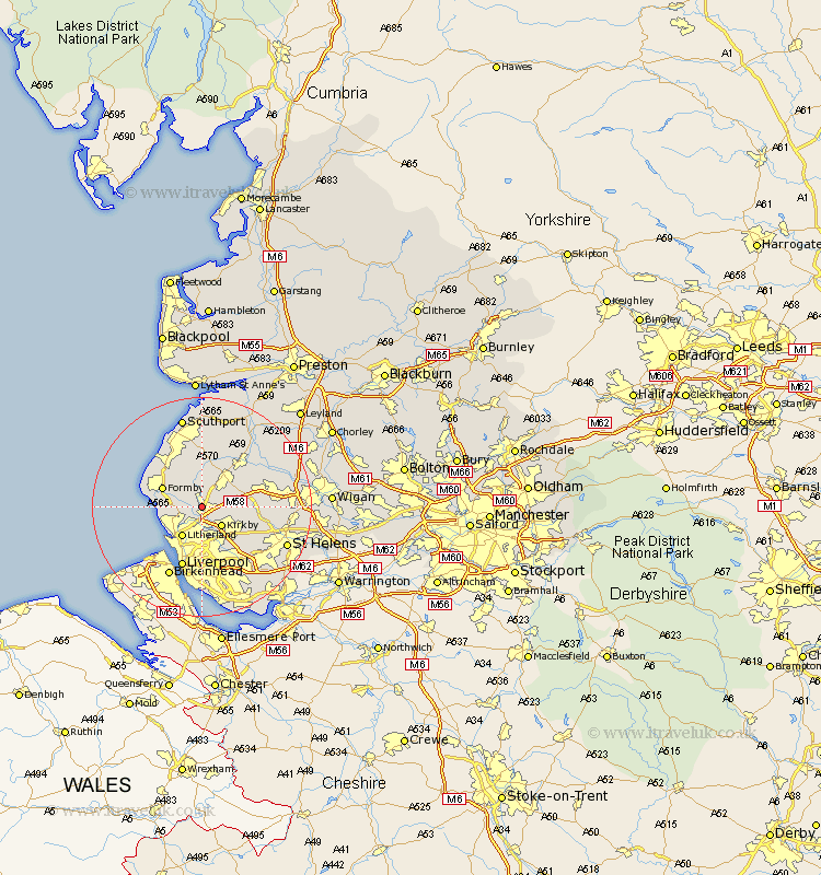
Lancashire Map Showing Location of Maghull
Population: 28503
Area Size (ha): 649
District: Sefton
Easting: 337015 Northing: 402672
Latitude: 53.52 Longitude: -2.95
 = Maghull
Area Size (ha): 649
District: Sefton
Easting: 337015 Northing: 402672
Latitude: 53.52 Longitude: -2.95
= Maghull
This Maghull map below is supplied by Google. Use the tools in the top left corner to zoom into street level or zoom out for a road map, you may also need to zoom in to see Maghull on the map. Click and drag the map to move around. If the map fails to load try and refresh your browser or zoom in or out (+ or -).
Update - it seems Google no longer allow people to use their maps for free! This Maghull map sometimes loads and sometimes gives a error. I am working on a solution.
Closest 30 Towns or Cities to Maghull (Population over 500)
Lydiate 1.1km Sefton 2.16km Aughton 2.87km Thornton 3.79km Melling 4.32km Ince Blundell 4.41km Kirkby 4.97km Aintree 5.67km Ormskirk 6.47km Litherland 6.47km Hightown 6.61km Crosby 7.01km Bootle 7.1km Halsall 7.41km Formby 7.58km Bickerstaffe 7.71km Scarisbrick 9.33km Rainford 9.92km Knowsley 9.94km Skelmersdale 10.09km Lathom 10.42km Burscough 10.69km Liverpool 11.6km Eccleston 13.29km Rufford 13.53km Parbold 14.2km Huyton with Roby 14.57km Huyton 14.57km Prescot 14.91km Prescott 14.91km