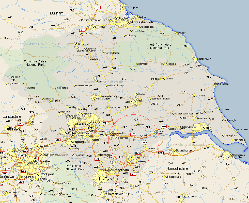
Yorkshire Map Showing Location of Balne Station
Population: 231
District: Selby
Easting: 459458 Northing: 419315
Latitude: 53.67 Longitude: -1.1
 = Balne Station
District: Selby
Easting: 459458 Northing: 419315
Latitude: 53.67 Longitude: -1.1
= Balne Station
This Balne Station map below is supplied by Google. Use the tools in the top left corner to zoom into street level or zoom out for a road map, you may also need to zoom in to see Balne Station on the map. Click and drag the map to move around. If the map fails to load try and refresh your browser or zoom in or out (+ or -).
Update - it seems Google no longer allow people to use their maps for free! This Balne Station map sometimes loads and sometimes gives a error. I am working on a solution.
Closest 30 Towns or Cities to Balne Station (Population over 500)
Pollington 2.2km Hensall 3.7km Whitley 3.78km Snaith 4.76km Askern 5.98km Carlton 6.62km Norton 6.63km Campsall 7.82km Stainforth 8.62km Sutton 8.62km Fishlake 9.23km Knottingly 9.53km Knottingley 9.53km Darrington 9.88km Rawcliffe 10.05km Barlow 10.76km Brayton 11.17km Moorends 11.23km Barnby Dun 11.34km Barnby Don 11.34km North Elmsall 11.34km Thorne 11.5km Hambleton 11.95km Brotherton 12.3km Adwick le Street 12.4km Carcroft 12.4km Monk Fryston 12.76km Kirk Sandall 13.02km Selby 13.15km Pontefract 13.3km