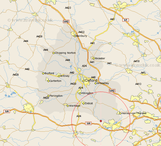
Oxfordshire Map Showing Location of Whitchurch
Population: 3251
Area Size (ha): 146
District: South Oxfordshire
Easting: 463645 Northing: 176490
Latitude: 51.48 Longitude: -1.08
 = Whitchurch
Area Size (ha): 146
District: South Oxfordshire
Easting: 463645 Northing: 176490
Latitude: 51.48 Longitude: -1.08
= Whitchurch
This Whitchurch map below is supplied by Google. Use the tools in the top left corner to zoom into street level or zoom out for a road map, you may also need to zoom in to see Whitchurch on the map. Click and drag the map to move around. If the map fails to load try and refresh your browser or zoom in or out (+ or -).
Update - it seems Google no longer allow people to use their maps for free! This Whitchurch map sometimes loads and sometimes gives a error. I am working on a solution.
Closest 30 Towns or Cities to Whitchurch (Population over 500)
Goring 5.08km Moulsford 7.23km Rotherfield Peppard 9.8km Nuffield 9.9km Cholsey 10.36km Nettlebed 11.57km Bix 11.84km Shiplake 12.69km Blewbury 12.76km Ewelme 13.03km Harpsden 13.22km Wallingford 13.43km Henley on Thames 13.85km Henley-on-Thames 13.85km Chilton 14.7km East Hagbourne 15.21km Hagbourne 15.21km Warborough 15.23km Benson 16.84km Didcot 17.36km Watlington 17.65km Dorchester 17.65km Chalgrove 18.54km Drayton St. Leonard 18.86km Drayton Saint Leonard 18.86km Drayton 18.86km Drayton St Leonard 18.86km Harwell 18.97km Long Wittenham 19.64km Clifton Hampden 20.22km