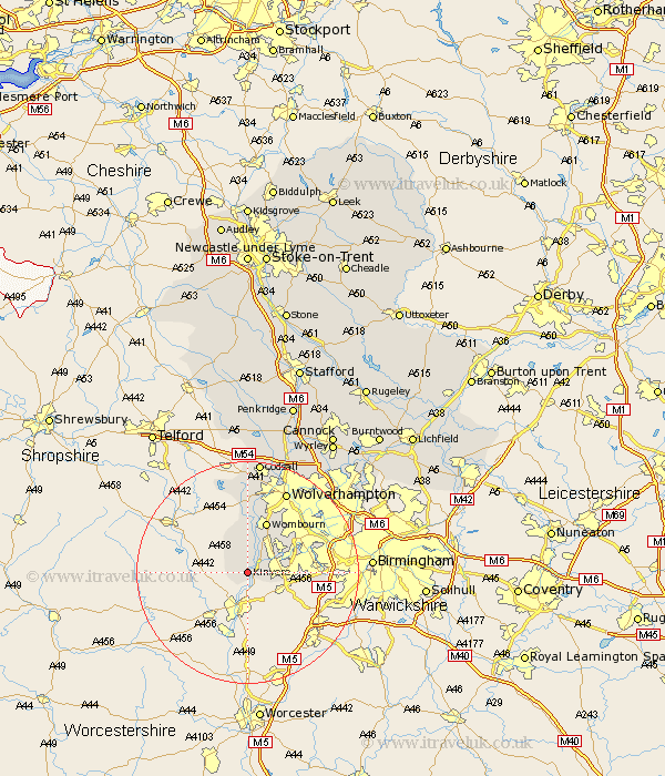
Staffordshire Map Showing Location of Kinvere
Population: 6805
District: South Staffordshire
Easting: 384144 Northing: 283627
Latitude: 52.45 Longitude: -2.23
 = Kinvere
District: South Staffordshire
Easting: 384144 Northing: 283627
Latitude: 52.45 Longitude: -2.23
= Kinvere
This Kinvere map below is supplied by Google. Use the tools in the top left corner to zoom into street level or zoom out for a road map, you may also need to zoom in to see Kinvere on the map. Click and drag the map to move around. If the map fails to load try and refresh your browser or zoom in or out (+ or -).
Update - it seems Google no longer allow people to use their maps for free! This Kinvere map sometimes loads and sometimes gives a error. I am working on a solution.
Closest 30 Towns or Cities to Kinvere (Population over 500)
Bobbington 8.15km Himley 9.32km Wombourn 9.86km Wombourne 9.86km Dudley 11.58km Seisdon 13.03km Scisdon 13.03km Lower Penn 13.17km Pattingham 14.99km Wolverhampton 16.29km Smethwick 16.75km Bilston 17.19km West Bromwich 17.46km Codsall 20.51km Wallsall 22.97km Walsall 22.97km Rushall 25.41km Shareshill 26.14km Brewood 26.33km Pelsall 26.66km Aldridge 27.15km Weston under Lizard 28km Weston-under-Lizard 28km Weston 28km Wyrley 28.45km Great Wyrley 28.45km Brownhills 28.76km Wheaton Aston 29.68km Cannock 29.79km Blymhill 29.85km