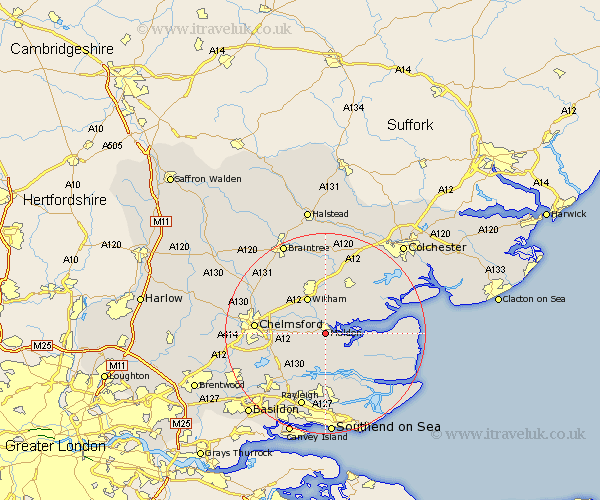
Essex Map Showing Location of Maldon
Population: 15513
Area Size (ha): 391
District: Maldon
Easting: 585339 Northing: 205455
Latitude: 51.72 Longitude: 0.68
 = Maldon
Area Size (ha): 391
District: Maldon
Easting: 585339 Northing: 205455
Latitude: 51.72 Longitude: 0.68
= Maldon
This Maldon map below is supplied by Google. Use the tools in the top left corner to zoom into street level or zoom out for a road map, you may also need to zoom in to see Maldon on the map. Click and drag the map to move around. If the map fails to load try and refresh your browser or zoom in or out (+ or -).
Update - it seems Google no longer allow people to use their maps for free! This Maldon map sometimes loads and sometimes gives a error. I am working on a solution.
Closest 30 Towns or Cities to Maldon (Population over 500)
Heybridge 1.85km Woodham Mortimer 3.91km Goldhanger 4.95km Cold Norton 5.68km Purleigh 6.02km Snoreham 6.54km Latchingdon and Snoreham 6.54km Latchingdon 6.54km Tolleshunt Major 6.83km Wickham Bishops 7.49km Bicknacre 7.83km Bickacre 7.83km Witham 8.17km Little Baddow 8.25km Danbury 8.25km Althorne 8.73km Fambridge 9.27km North Fambridge 9.27km Great Totham 9.33km Totham 9.33km Hatfield Peverel 9.37km Woodham Ferrers 9.38km Tolleshunt D'Arcy 9.77km Tiptree 9.88km Tolleshunt Knights 10.11km Mayland 10.13km Boreham 10.73km East Hanningfield 10.74km Tollesbury 10.97km Rettendon 11.81km