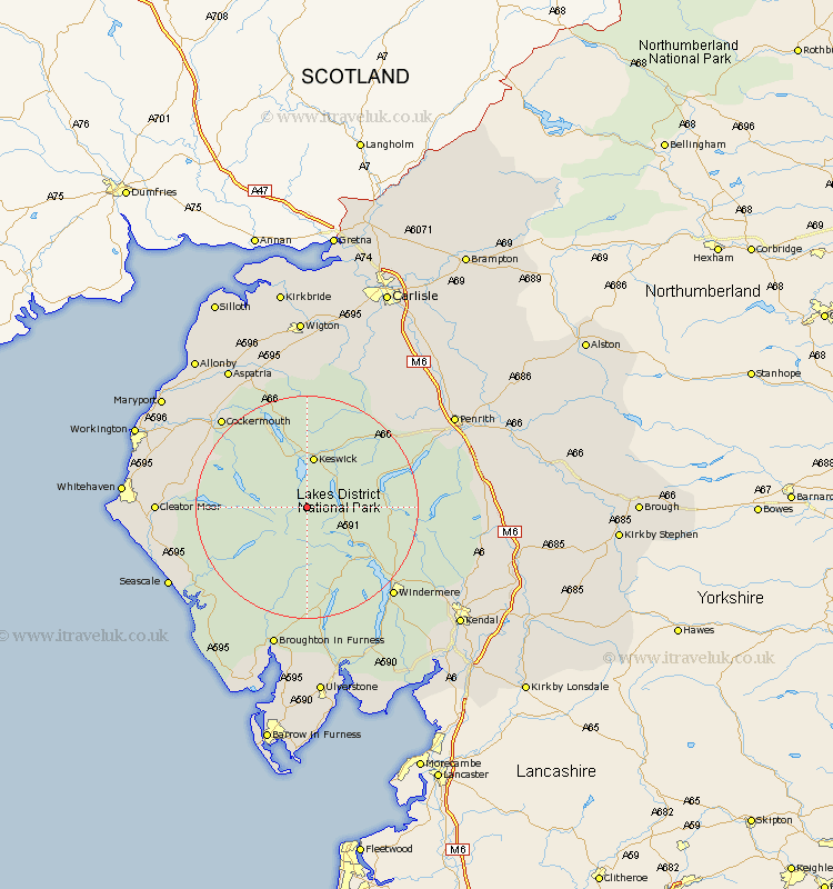
Cumbria Map Showing Location of Rosthwaite
District: Allerdale
Easting: 326642 Northing: 514094
Latitude: 54.52 Longitude: -3.13
 = Rosthwaite
Easting: 326642 Northing: 514094
Latitude: 54.52 Longitude: -3.13
= Rosthwaite
This Rosthwaite map below is supplied by Google. Use the tools in the top left corner to zoom into street level or zoom out for a road map, you may also need to zoom in to see Rosthwaite on the map. Click and drag the map to move around. If the map fails to load try and refresh your browser or zoom in or out (+ or -).
Update - it seems Google no longer allow people to use their maps for free! This Rosthwaite map sometimes loads and sometimes gives a error. I am working on a solution.
Closest 30 Towns or Cities to Rosthwaite (Population over 500)
Koswick 9.32km Keswick 9.32km Ambleside 15.48km Coniston 17.23km Conistan 17.23km Lamplugh 18.08km Hawkshead 18.78km Dean 21.45km Cockermouth 21.75km Windermere 21.78km Dacre 22.31km Frizington 22.66km Greystoke 22.69km Gosforth 23.33km Brigham 23.52km Bridekirk 23.86km Caldbeck 24.67km Cleator Moor 24.74km Hesket Newmarket 25.23km Egremont 25.37km Staveley 26.41km Skelton 26.65km Distington 26.84km Seascale 27.06km Dearham 28.08km Colton 28.32km Broughton Moor 28.36km Aspatria 28.96km Parton 29.55km Westward 29.64km