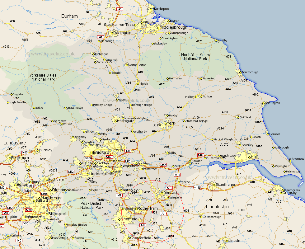
Yorkshire Map Showing Location of Maltby
Population: 17865
Area Size (ha): 369
District: Rotherham
Easting: 453164 Northing: 391426
Latitude: 53.42 Longitude: -1.2
 = Maltby
Area Size (ha): 369
District: Rotherham
Easting: 453164 Northing: 391426
Latitude: 53.42 Longitude: -1.2
= Maltby
This Maltby map below is supplied by Google. Use the tools in the top left corner to zoom into street level or zoom out for a road map, you may also need to zoom in to see Maltby on the map. Click and drag the map to move around. If the map fails to load try and refresh your browser or zoom in or out (+ or -).
Update - it seems Google no longer allow people to use their maps for free! This Maltby map sometimes loads and sometimes gives a error. I am working on a solution.
Closest 30 Towns or Cities to Maltby (Population over 500)
Braithwell 1.85km Bramley 4.42km Anston 5.43km Tickhill 5.52km Wickersley 5.52km Dinnington 5.56km Conisborough 5.66km Conisbrough 5.66km Brampton 5.77km Brampton en le Morthen 5.77km Brampton en le Morthern 5.77km Wadworth 6.47km Wadsworth 6.47km Thrybergh 7.59km Woodsetts 7.74km Todwick 8.12km Mexborough 8.62km Whiston 9.03km Sprotbrough 9.26km Sprotboro 9.26km Warmsworth 9.33km Rawmarsh 9.58km Aston 9.95km Rotherdam 10.11km Rotherham 10.11km Rossington 10.43km Treeton 10.62km Swinton 10.7km Wales 10.8km Bawtry 11.05km