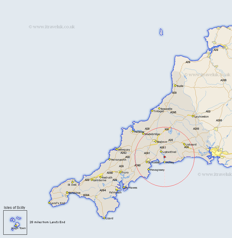
Cornwall Map Showing Location of Golant
District: Caradon
Easting: 212746 Northing: 55249
Latitude: 50.37 Longitude: -4.63
 = Golant
Easting: 212746 Northing: 55249
Latitude: 50.37 Longitude: -4.63
= Golant
This Golant map below is supplied by Google. Use the tools in the top left corner to zoom into street level or zoom out for a road map, you may also need to zoom in to see Golant on the map. Click and drag the map to move around. If the map fails to load try and refresh your browser or zoom in or out (+ or -).
Update - it seems Google no longer allow people to use their maps for free! This Golant map sometimes loads and sometimes gives a error. I am working on a solution.
Closest 30 Towns or Cities to Golant (Population over 500)
Fowey 3.71km Lanteglos 3.9km Tywardreath 4km Lostwithiel 4.39km Lansallos 4.73km Lanreath 5.07km Par 6.2km Saint Blazey 6.97km St Blazey 6.97km St. Blazey 6.97km Pelynt 7.09km Duloe 10.8km Bugle 11.96km Stenalees 12.03km St Austell 12.4km Saint Austell 12.4km St. Austell 12.4km Dobwalls 12.42km Bodmin 12.59km West Looe 12.94km Looe 12.94km Cardingham 13.02km Cardinham 13.02km Morval 13.13km Lanivet 13.23km Mevagissey 14.12km Mevegissey 14.12km Roche 14.66km Liskeard 15.96km Menheniot 17.05km