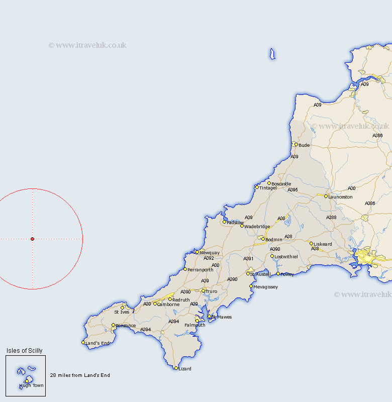
Cornwall Map Showing Location of Saint Eval
Population: 963
District: North Cornwall
Easting: 187126 Northing: 67352
Latitude: 50.47 Longitude: -6
 = Saint Eval
District: North Cornwall
Easting: 187126 Northing: 67352
Latitude: 50.47 Longitude: -6
= Saint Eval
This Saint Eval map below is supplied by Google. Use the tools in the top left corner to zoom into street level or zoom out for a road map, you may also need to zoom in to see Saint Eval on the map. Click and drag the map to move around. If the map fails to load try and refresh your browser or zoom in or out (+ or -).
Update - it seems Google no longer allow people to use their maps for free! This Saint Eval map sometimes loads and sometimes gives a error. I am working on a solution.
Closest 30 Towns or Cities to Saint Eval (Population over 500)
St Eval 0km St. Eval 0km Saint Eval 0km St Just 44.37km Saint Just 44.37km St. Just 44.37km St Ives 46.25km St. Ives 46.25km Saint Ives 46.25km Madron 48.18km Penzance 48.95km Sennan 49.32km Sennen 49.32km Sancreed 49.7km St. Buryan 52.16km St Burian 52.16km Saint Buryan 52.16km Saint Burian 52.16km St Buryan 52.16km St. Burian 52.16km Ludgvan 52.16km Marazion 53km Heyl 53.94km Hayle 53.94km Portreath 54.4km Gwinear 54.9km Perranuthnoe 55.15km Camborne 55.89km St Hilary 56.85km Saint Hilary 56.85km