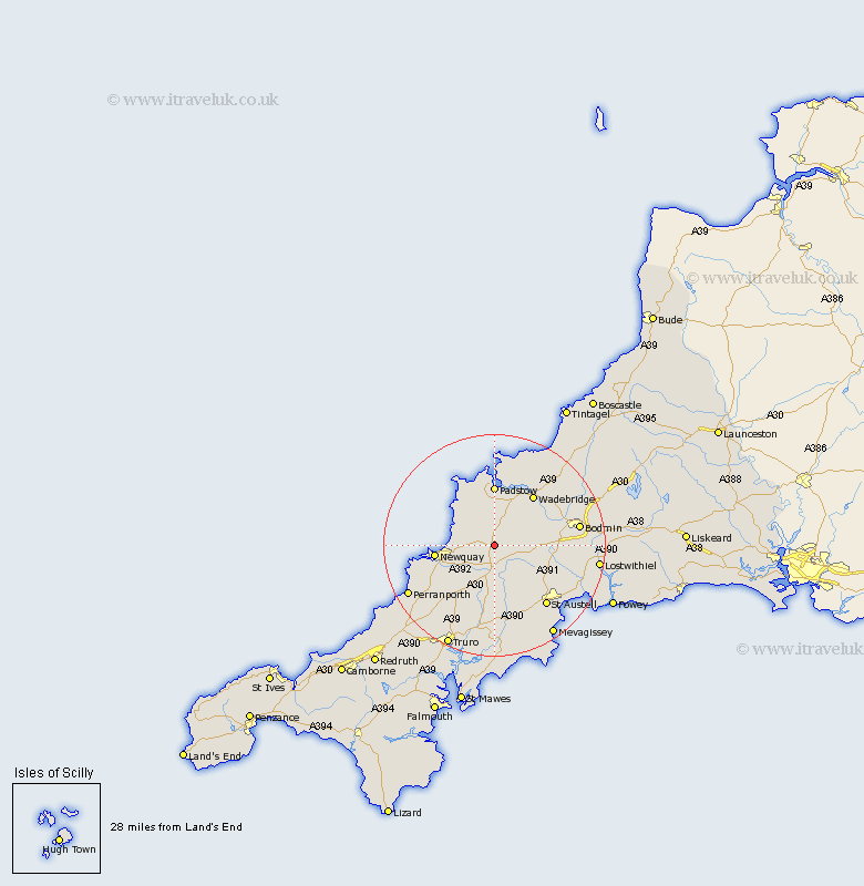
Cornwall Map Showing Location of Saint Columb
Population: 2091
Area Size (ha): 67
District: Restormel
Easting: 191709 Northing: 63451
Latitude: 50.43 Longitude: -4.93
 = Saint Columb
Area Size (ha): 67
District: Restormel
Easting: 191709 Northing: 63451
Latitude: 50.43 Longitude: -4.93
= Saint Columb
This Saint Columb map below is supplied by Google. Use the tools in the top left corner to zoom into street level or zoom out for a road map, you may also need to zoom in to see Saint Columb on the map. Click and drag the map to move around. If the map fails to load try and refresh your browser or zoom in or out (+ or -).
Update - it seems Google no longer allow people to use their maps for free! This Saint Columb map sometimes loads and sometimes gives a error. I am working on a solution.
Closest 30 Towns or Cities to Saint Columb (Population over 500)
St. Dennis 6.59km St Denis 6.59km St Dennis 6.59km St. Denis 6.59km Saint Dennis 6.59km Saint Denis 6.59km Saint Issey 7.51km St Issey 7.51km St. Issey 7.51km Roche 7.99km Saint Merryn 9.57km St Merryn 9.57km St. Merryn 9.57km Stenalees 10.74km Newquay 10.79km Bugle 10.96km Padstow 11.12km Saint Stephen 11.37km St. Stephen 11.37km St Stephen 11.37km Wadebridge 11.66km Lanivet 11.95km Ladock 13.02km Crantock 13.51km Cubert 14.13km St Austell 14.59km Saint Austell 14.59km St. Austell 14.59km Bodmin 15.78km St. Blazey 15.79km