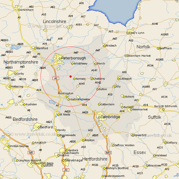
Cambridgeshire Map Showing Location of Ramsey Saint Marys
District: Huntingdonshire
Easting: 525660 Northing: 287067
Latitude: 52.47 Longitude: -0.15
 = Ramsey Saint Marys
Easting: 525660 Northing: 287067
Latitude: 52.47 Longitude: -0.15
= Ramsey Saint Marys
This Ramsey Saint Marys map below is supplied by Google. Use the tools in the top left corner to zoom into street level or zoom out for a road map, you may also need to zoom in to see Ramsey Saint Marys on the map. Click and drag the map to move around. If the map fails to load try and refresh your browser or zoom in or out (+ or -).
Update - it seems Google no longer allow people to use their maps for free! This Ramsey Saint Marys map sometimes loads and sometimes gives a error. I am working on a solution.
Closest 30 Towns or Cities to Ramsey Saint Marys (Population over 500)
Ramsey 2.92km Holme 5.65km Bury 6.51km Yaxley 7.72km Wistow 8.15km Sawtry 8.73km Stilton 9.22km Farcet 9.31km Warboys 9.32km Whittlesey 9.33km Folksworth 10.33km Alconbury 13.65km Chatteris 13.68km Orton Waterville 13.74km Somersham 13.76km Peterborough 14.62km Petersborough 14.62km Peterbrough 14.62km Doddington 14.79km Eye 14.99km Huntingdon 15km Wyton 15km Wimblington 15.13km Colne 15.86km Castor 16.66km Durolipons 16.72km Godmanchester 16.72km Hemingford 16.83km Hemingford Grey 16.83km Thorney 17.02km