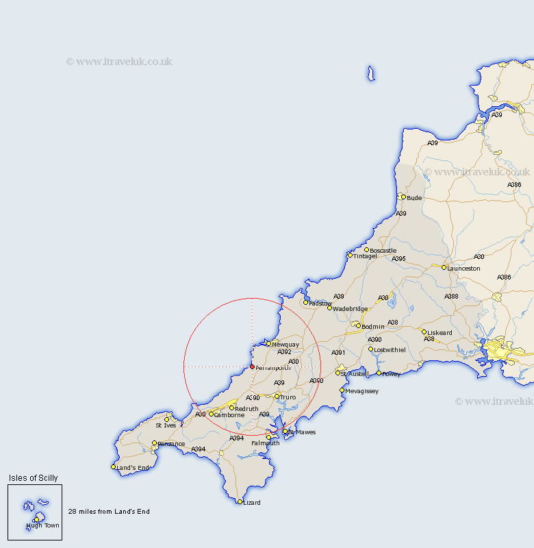
Cornwall Map Showing Location of Perranporth
Population: 2575
Area Size (ha): 82
District: Carrick
Easting: 175934 Northing: 54822
Latitude: 50.35 Longitude: -5.15
 = Perranporth
Area Size (ha): 82
District: Carrick
Easting: 175934 Northing: 54822
Latitude: 50.35 Longitude: -5.15
= Perranporth
This Perranporth map below is supplied by Google. Use the tools in the top left corner to zoom into street level or zoom out for a road map, you may also need to zoom in to see Perranporth on the map. Click and drag the map to move around. If the map fails to load try and refresh your browser or zoom in or out (+ or -).
Update - it seems Google no longer allow people to use their maps for free! This Perranporth map sometimes loads and sometimes gives a error. I am working on a solution.
Closest 30 Towns or Cities to Perranporth (Population over 500)
Perranzabuloe 1.86km Cubert 4.39km St. Agnes 6.01km St Agnes 6.01km Saint Agnes 6.01km Crantock 6.04km Newquay 8.79km Kenwyn 10.99km Chacewater 11.18km Truro 11.67km St Day 13.19km St. Day 13.19km Saint Day 13.19km Portreath 14.12km Redruth 14.26km Ladock 14.67km Kea 14.79km Gwennap 14.87km Illogan 15.4km Probus 16.02km Saint Stephen 17.84km St Stephen 17.84km St. Stephen 17.84km St. Columb Major 17.94km St. Columb 17.94km Saint Columb Major 17.94km St Columb Major 17.94km St Columb 17.94km Saint Columb 17.94km Saint Feock 18.13km