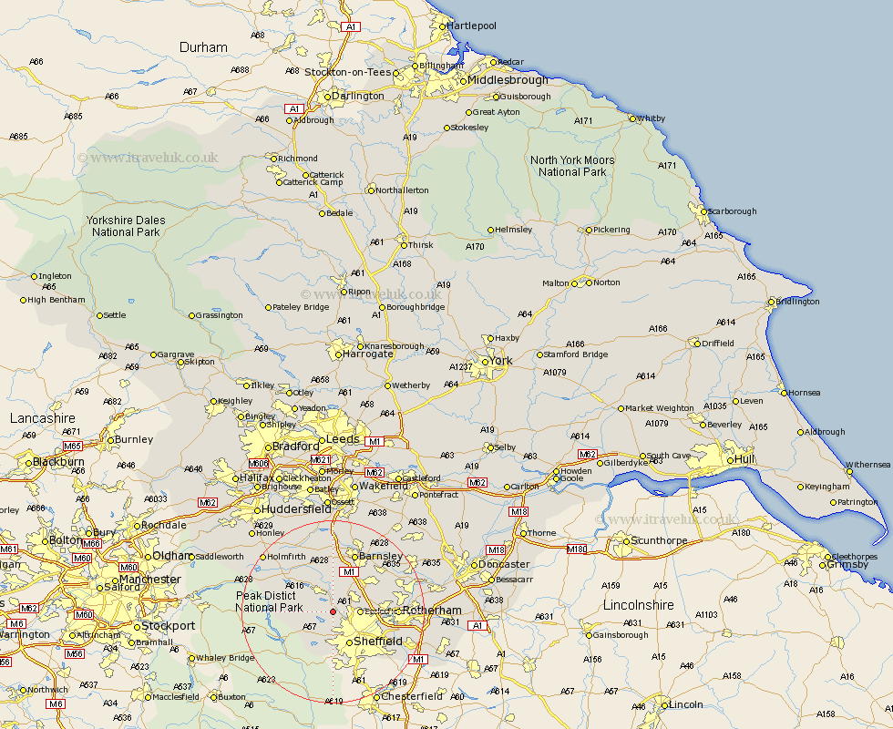
Yorkshire Map Showing Location of Oughtibridge
Population: 2936
Area Size (ha): 68
District: Sheffield
Easting: 429893 Northing: 393069
Latitude: 53.43 Longitude: -1.55
 = Oughtibridge
Area Size (ha): 68
District: Sheffield
Easting: 429893 Northing: 393069
Latitude: 53.43 Longitude: -1.55
= Oughtibridge
This Oughtibridge map below is supplied by Google. Use the tools in the top left corner to zoom into street level or zoom out for a road map, you may also need to zoom in to see Oughtibridge on the map. Click and drag the map to move around. If the map fails to load try and refresh your browser or zoom in or out (+ or -).
Update - it seems Google no longer allow people to use their maps for free! This Oughtibridge map sometimes loads and sometimes gives a error. I am working on a solution.
Closest 30 Towns or Cities to Oughtibridge (Population over 500)
Bradfield 3.79km Ecclesfield 5.52km Wortley 5.67km Stocksbridge 6.47km Tankersley 7.83km Sheffield 8.11km Birdwell 8.63km Wentworth 9.58km Hoyland Nether 9.94km Hoyland 9.94km Penistone 10.27km Worsbrough 10.27km Worsborough 10.27km Silkstone 11.17km Dodworth 11.17km Rotherdam 13.25km Rotherham 13.25km Orgreave 13.36km Wombwell 13.58km Barnsley 13.71km Treeton 14.38km Rawmarsh 14.47km Whiston 14.83km Cawthorne 15km Wath 15.17km Wath upon Dearne 15.17km Wath on Dearne 15.17km Wath-on-Dearne 15.17km Darsfield 15.66km Darfield 15.66km