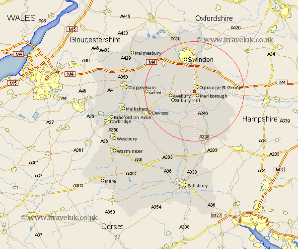
Wiltshire Map Showing Location of Ogbourne Saint Andrew
Population: 352
District: Kennet
Easting: 418535 Northing: 170565
Latitude: 51.43 Longitude: -1.73
 = Ogbourne Saint Andrew
District: Kennet
Easting: 418535 Northing: 170565
Latitude: 51.43 Longitude: -1.73
= Ogbourne Saint Andrew
This Ogbourne Saint Andrew map below is supplied by Google. Use the tools in the top left corner to zoom into street level or zoom out for a road map, you may also need to zoom in to see Ogbourne Saint Andrew on the map. Click and drag the map to move around. If the map fails to load try and refresh your browser or zoom in or out (+ or -).
Update - it seems Google no longer allow people to use their maps for free! This Ogbourne Saint Andrew map sometimes loads and sometimes gives a error. I am working on a solution.
Closest 30 Towns or Cities to Ogbourne Saint Andrew (Population over 500)
Marlborough 2.18km Chiseldon 7.51km Broad Hinton 8.88km Aldbourne 8.9km Ramsbury 9.24km Wroughton 9.9km Baydon 10.78km Broad Town 10.78km Pewsey 11.18km Wanborough 11.36km Bedwyn 11.85km Great Bedwyn 11.85km Burbage 12.04km Bishopstone 13.1km Grafton 13.11km Swindon 14.15km Cherhill 15.14km Shalbourn 15.74km Shalbourne 15.74km Wooton Bassett 16.03km Wootton Bassett 16.03km Hillmarton 16.59km Hilmarton 16.59km Stratton Saint Margaret 16.72km Stratton St. Margaret 16.72km Stratton St Margaret 16.72km Stratton 16.72km Bishops Cannings 16.76km Lydiard Millicent 17.47km Upavon 17.65km