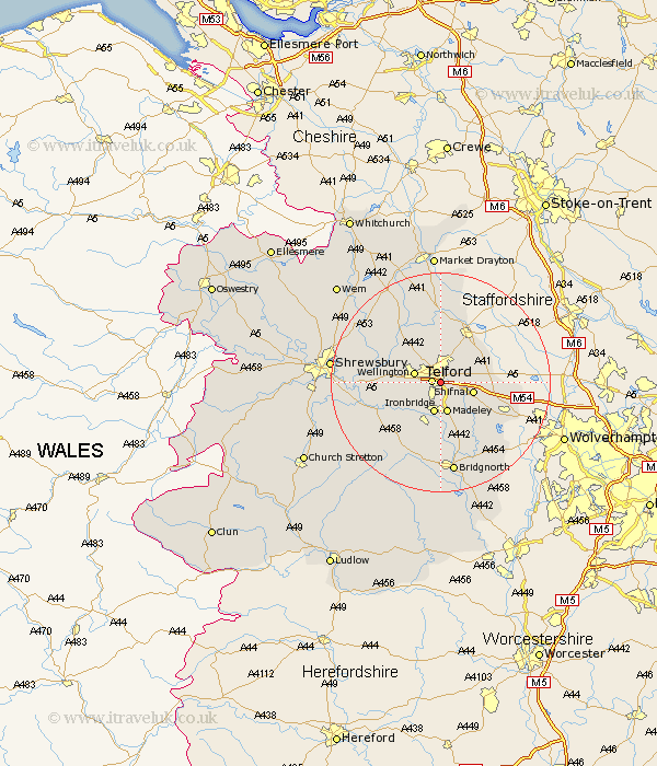
Shropshire Map Showing Location of Malins Lee
Easting: 369582 Northing: 309645
Latitude: 52.68 Longitude: -2.45
 = Malins Lee
Latitude: 52.68 Longitude: -2.45
= Malins Lee
This Malins Lee map below is supplied by Google. Use the tools in the top left corner to zoom into street level or zoom out for a road map, you may also need to zoom in to see Malins Lee on the map. Click and drag the map to move around. If the map fails to load try and refresh your browser or zoom in or out (+ or -).
Update - it seems Google no longer allow people to use their maps for free! This Malins Lee map sometimes loads and sometimes gives a error. I am working on a solution.
Closest 30 Towns or Cities to Malins Lee (Population over 500)
Telford 1.62km Dawley 2.16km Oakengates 2.17km Ketley 2.91km Hadley 2.91km Trench 3.88km Donnington 3.88km Downington 3.88km Wellington 4.86km Ironbridge 5.67km Madeley 5.67km Shifnal 5.91km Lilleshall 6.5km Broseley 7.74km Wrockwardine 8.08km Barrow 9.33km Barrow Bridge 9.33km Edgmond 9.54km Woodcote 9.63km Cherrington 9.87km Much Wenlock 11.46km Chetwynd 11.62km Newport 11.99km Rodington 12.53km High Ercall 12.53km Ercall Magna 12.53km Cressage 12.54km Albrighton 13.56km Worfield 15.85km Hinstock 16.68km