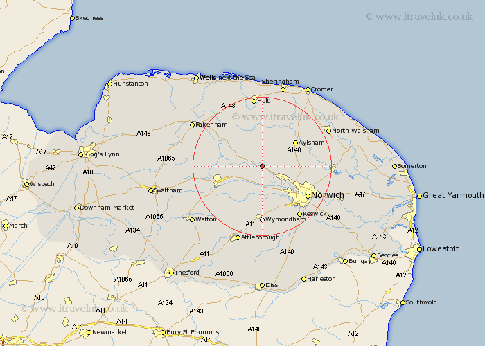
Norfolk Map Showing Location of Lenwade
District: Broadland
Easting: 610479 Northing: 317821
Latitude: 52.72 Longitude: 1.12
 = Lenwade
Easting: 610479 Northing: 317821
Latitude: 52.72 Longitude: 1.12
= Lenwade
This Lenwade map below is supplied by Google. Use the tools in the top left corner to zoom into street level or zoom out for a road map, you may also need to zoom in to see Lenwade on the map. Click and drag the map to move around. If the map fails to load try and refresh your browser or zoom in or out (+ or -).
Update - it seems Google no longer allow people to use their maps for free! This Lenwade map sometimes loads and sometimes gives a error. I am working on a solution.
Closest 30 Towns or Cities to Lenwade (Population over 500)
Witchingham 1.85km Lyng 3.37km Reepham 3.7km Bawdeswell 5.91km Cawston 6.5km Hockering 6.5km Taverham 7.15km Drayton 8.74km Mattishall 9.3km Horsford 9.72km Foulsham 10.01km Foulham 10.01km Costessey 10.02km Marsham 10.56km Hevingham 10.76km Corpusty 11.18km North Elmham 11.38km Aylsham 11.64km Horsham 11.83km Horsham Saint Faith 11.83km Horsham St Faith 11.83km Horsham St. Faith 11.83km Haynford 12.35km Hainford 12.35km Yaxham 12.54km East Dereham 12.9km Dereham 12.9km Hellesdon 12.92km Hindolveston 13km Beetley 13.47km