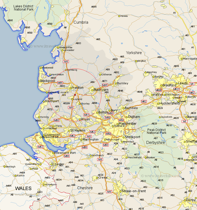
Lancashire Map Showing Location of Bamber Bridge
District: South Ribble
Easting: 356008 Northing: 424707
Latitude: 53.72 Longitude: -2.67
 = Bamber Bridge
Easting: 356008 Northing: 424707
Latitude: 53.72 Longitude: -2.67
= Bamber Bridge
This Bamber Bridge map below is supplied by Google. Use the tools in the top left corner to zoom into street level or zoom out for a road map, you may also need to zoom in to see Bamber Bridge on the map. Click and drag the map to move around. If the map fails to load try and refresh your browser or zoom in or out (+ or -).
Update - it seems Google no longer allow people to use their maps for free! This Bamber Bridge map sometimes loads and sometimes gives a error. I am working on a solution.
Closest 30 Towns or Cities to Bamber Bridge (Population over 500)
Farington 2.19km Farrington 2.19km Leyland 4.31km Hoghton 5.48km Penwortham 5.74km Preston 6.46km Samlesbury 6.46km Heapey 6.46km Hutton 6.83km Euxton 7.42km Brinscall 7.56km Withnell 7.9km Chorley 8.12km Penrith 8.62km Longton 8.77km Much Hoole 8.97km Hoole 8.97km Grimsargh 9.52km Eccleston 9.84km Croston 9.92km Lea Town 10.38km Lea 10.38km Mellor 10.38km Bretherton 10.39km Woodplumpton 10.76km Goosnargh 11.12km Coppull 11.17km Barton 11.95km Broughton 11.95km Tarleton 12.3km