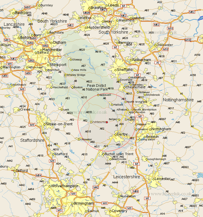
Derbyshire Map Showing Location of Ireton Wood
District: Derbyshire Dales
Easting: 427949 Northing: 346715
Latitude: 53.02 Longitude: -1.58
 = Ireton Wood
Easting: 427949 Northing: 346715
Latitude: 53.02 Longitude: -1.58
= Ireton Wood
This Ireton Wood map below is supplied by Google. Use the tools in the top left corner to zoom into street level or zoom out for a road map, you may also need to zoom in to see Ireton Wood on the map. Click and drag the map to move around. If the map fails to load try and refresh your browser or zoom in or out (+ or -).
Update - it seems Google no longer allow people to use their maps for free! This Ireton Wood map sometimes loads and sometimes gives a error. I am working on a solution.
Closest 30 Towns or Cities to Ireton Wood (Population over 500)
Wirksworth 7.49km Ambergate 7.64km Ambergate Junction Station 7.64km Brailsford 7.75km Belper 8.02km Holbrook 8.02km Brassington 8.64km Duffield 8.7km Heage 9.11km Quarndon 9.28km Cromford 9.33km Kirk Langley 9.34km Crich 9.98km Ashbourne 10.03km Kilburn 10.21km Kilbourne 10.21km Kilbourn 10.21km Matlock Bath 10.48km Derby 10.82km Bonsall 11.12km Clifton 11.31km Little Eaton 11.61km Denby 12.26km Ripley 12.4km South Wingfield 12.46km Wingfield 12.46km Breadsall 12.87km Matlock 13.39km Swanwick 13.46km Tansley 13.71km