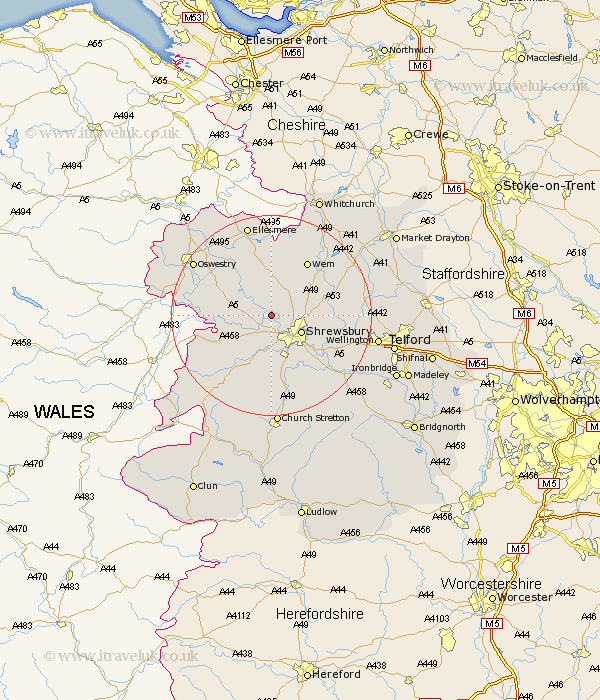
Shropshire Map Showing Location of Fitz
District: Shrewsbury and Atcham
Easting: 344882 Northing: 317281
Latitude: 52.75 Longitude: -2.82
 = Fitz
Easting: 344882 Northing: 317281
Latitude: 52.75 Longitude: -2.82
= Fitz
This Fitz map below is supplied by Google. Use the tools in the top left corner to zoom into street level or zoom out for a road map, you may also need to zoom in to see Fitz on the map. Click and drag the map to move around. If the map fails to load try and refresh your browser or zoom in or out (+ or -).
Update - it seems Google no longer allow people to use their maps for free! This Fitz map sometimes loads and sometimes gives a error. I am working on a solution.
Closest 30 Towns or Cities to Fitz (Population over 500)
Bicton 1.86km Ford 4.33km Baschurch 5km Great Ness 5.91km Shrewsbury 6.72km Hadnall 6.98km Great Hanwood 7.42km Hanwood 7.42km Alberbury 9.71km Baystonhill 10.29km Cockshutt 11.34km Cockshut 11.34km Westbury 11.65km Kinnerley 11.81km Shawbury 11.81km Pontesbury 11.99km Condover 11.99km Wem 12.99km Loppington 13.17km West Felton 13.44km Stanton upon Hine Heath 13.44km Stanton 13.44km Rodington 13.59km Berrington 13.62km Ercall Magna 14.58km High Ercall 14.58km Minsterley 15.17km Welshampton 16.83km Pant 17.22km Wrockwardine 17.73km