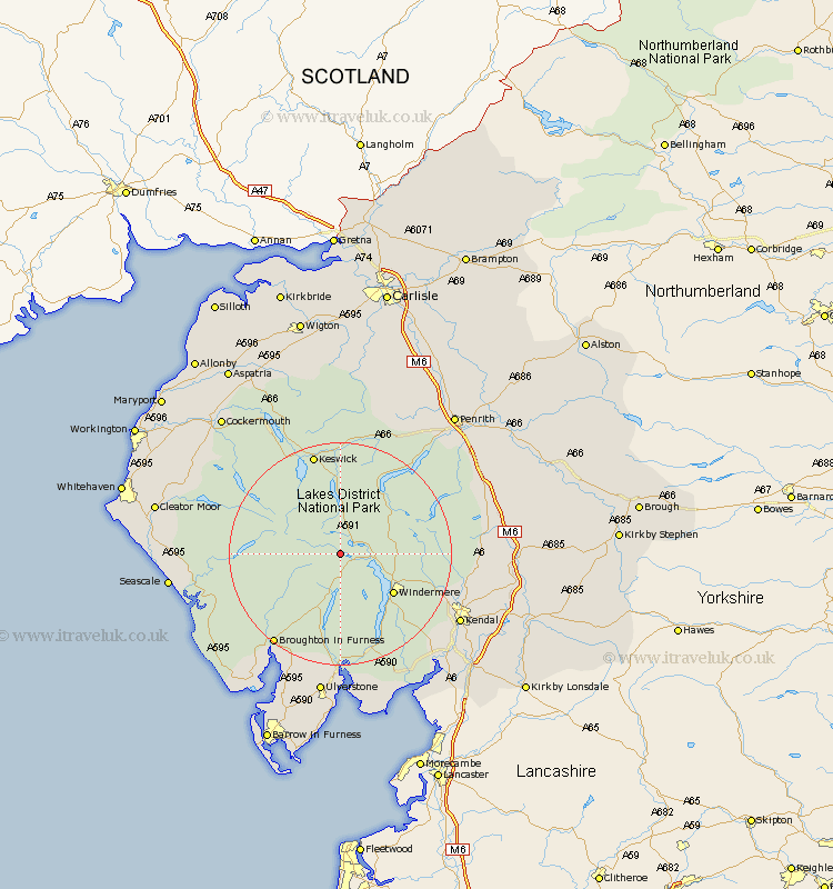
Cumbria Map Showing Location of Elterwater
District: South Lakeland
Easting: 331897 Northing: 504731
Latitude: 54.43 Longitude: -3.05
 = Elterwater
Easting: 331897 Northing: 504731
Latitude: 54.43 Longitude: -3.05
= Elterwater
This Elterwater map below is supplied by Google. Use the tools in the top left corner to zoom into street level or zoom out for a road map, you may also need to zoom in to see Elterwater on the map. Click and drag the map to move around. If the map fails to load try and refresh your browser or zoom in or out (+ or -).
Update - it seems Google no longer allow people to use their maps for free! This Elterwater map sometimes loads and sometimes gives a error. I am working on a solution.
Closest 30 Towns or Cities to Elterwater (Population over 500)
Ambleside 5.7km Coniston 7.48km Conistan 7.48km Hawkshead 8.08km Windermere 11.37km Staveley 16.82km Colton 18.52km Koswick 19.03km Keswick 19.03km Haverthwaite 22.34km Kendal 23.36km Kendall 23.36km Dacre 24.73km Gosforth 25.08km Ulverston 26.14km Ulverstone 26.14km Natland 26.44km Shap 26.45km Levens 26.72km Greystoke 26.84km Lamplugh 27.03km Bootle 27.65km Pennington 28.32km Holker 28.32km Lower Holker 28.32km Seascale 28.59km Heversham 28.84km Millom 29.5km Askam 29.83km Askam in Furness 29.83km