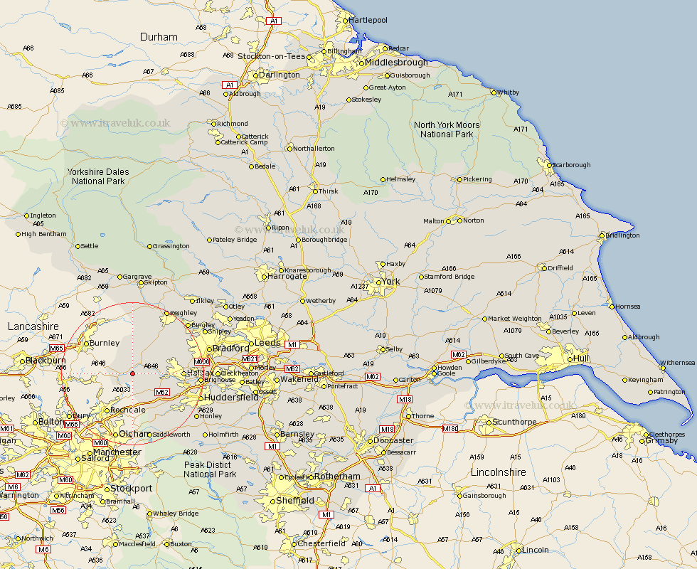
Yorkshire Map Showing Location of Eastwood
District: Calderdale
Easting: 396700 Northing: 424502
Latitude: 53.72 Longitude: -2.05
 = Eastwood
Easting: 396700 Northing: 424502
Latitude: 53.72 Longitude: -2.05
= Eastwood
This Eastwood map below is supplied by Google. Use the tools in the top left corner to zoom into street level or zoom out for a road map, you may also need to zoom in to see Eastwood on the map. Click and drag the map to move around. If the map fails to load try and refresh your browser or zoom in or out (+ or -).
Update - it seems Google no longer allow people to use their maps for free! This Eastwood map sometimes loads and sometimes gives a error. I am working on a solution.
Closest 30 Towns or Cities to Eastwood (Population over 500)
Todmorden 2.19km Hebden Bridge 4.3km Heptonstall 4.3km Mytholmroyd 4.39km Cornholme 6.83km Luddenden Foot 7.68km Ripponden 8.62km Queensbury 10.38km Oxenhope 11.36km Denholme 12.33km Haworth 12.92km Halifax 13.16km Elland 14.74km Cullingworth 14.86km Wilsden 16.4km Brighouse 17.65km Sutton-in-Craven 19.04km Saddleworth 19.05km Huddersfield 19.06km Steeton 19.66km Meltham 19.84km Keighley 20.49km Bingley 20.55km Glusburn 20.64km Honley 20.97km Bradford 21.07km Silsden 21.77km Cleckheaton 21.93km Cononley 22.35km Earby 22.66km