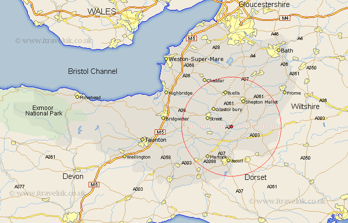
Somerset Map Showing Location of East Lydford
District: South Somerset
Easting: 356810 Northing: 131793
Latitude: 51.08 Longitude: -2.62
 = East Lydford
Easting: 356810 Northing: 131793
Latitude: 51.08 Longitude: -2.62
= East Lydford
This East Lydford map below is supplied by Google. Use the tools in the top left corner to zoom into street level or zoom out for a road map, you may also need to zoom in to see East Lydford on the map. Click and drag the map to move around. If the map fails to load try and refresh your browser or zoom in or out (+ or -).
Update - it seems Google no longer allow people to use their maps for free! This East Lydford map sometimes loads and sometimes gives a error. I am working on a solution.
Closest 30 Towns or Cities to East Lydford (Population over 500)
Barton Saint David 2.98km Barton St David 2.98km Barton St. David 2.98km Charlton Mackrell 3.95km Baltonsborough 4.38km Butleigh 5.01km Sparkford 6.57km Ditcheat 6.9km Castle Cary 6.99km Compton 7.23km Queen Camel 7.76km West Pennard 7.77km North Cadbury 8.93km Pilton 9.56km Yeovilton 9.9km Street 10.02km Somerton 10.03km Ilchester 10.37km Glastonbury 10.45km Evercreech 11.01km Walton 11.11km Mudford 11.12km Shepton Mallet 12.05km Shepun 12.05km Long Sutton 12.84km Redlynch 12.94km Bruton 12.94km Wookey 13.78km Ashcott 13.95km High Ham 14.09km