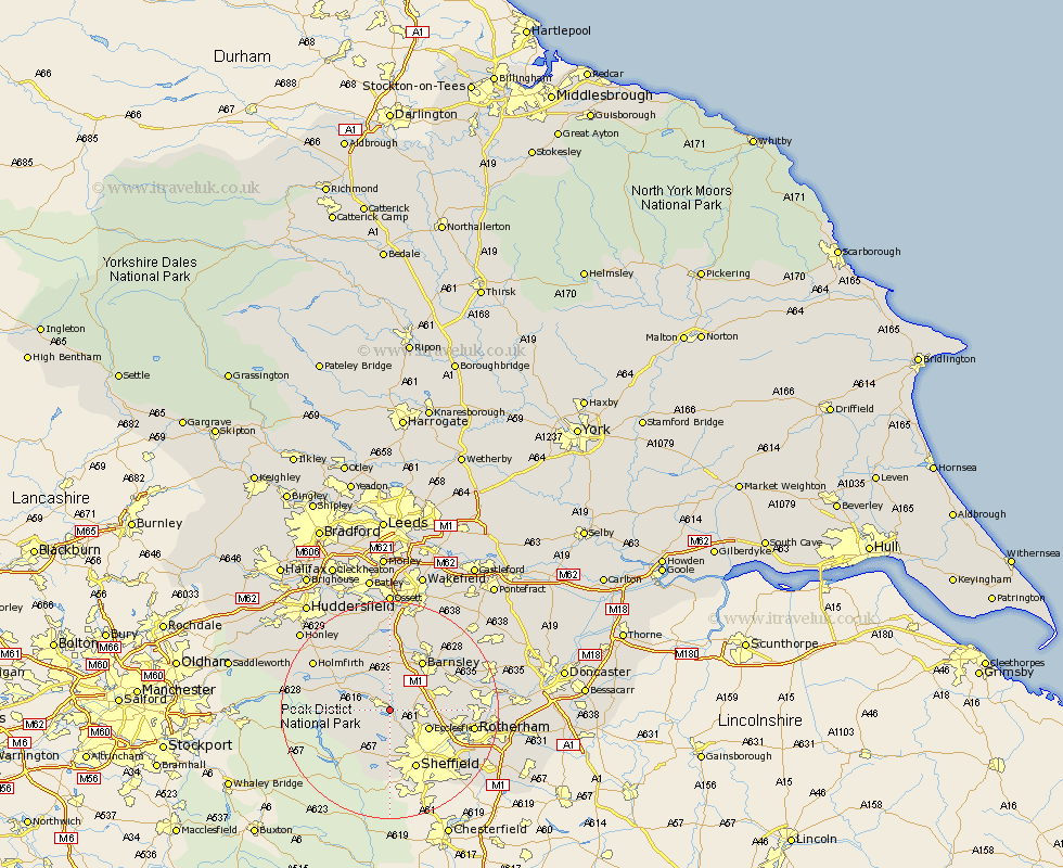
Yorkshire Map Showing Location of Deepcar
District: Sheffield
Easting: 428763 Northing: 396777
Latitude: 53.47 Longitude: -1.57
 = Deepcar
Easting: 428763 Northing: 396777
Latitude: 53.47 Longitude: -1.57
= Deepcar
This Deepcar map below is supplied by Google. Use the tools in the top left corner to zoom into street level or zoom out for a road map, you may also need to zoom in to see Deepcar on the map. Click and drag the map to move around. If the map fails to load try and refresh your browser or zoom in or out (+ or -).
Update - it seems Google no longer allow people to use their maps for free! This Deepcar map sometimes loads and sometimes gives a error. I am working on a solution.
Closest 30 Towns or Cities to Deepcar (Population over 500)
Stocksbridge 2.88km Wortley 2.88km Oughtibridge 3.87km Wharncliffe 3.87km Wharncliffe Side 3.87km Bradfield 5.98km Penistone 6.47km Birdwell 6.64km Tankersley 6.87km Silkstone 7.41km Ecclesfield 7.59km Dodworth 7.73km Worsborough 7.83km Worsbrough 7.83km Hoyland Nether 8.56km Hoyland 8.56km Wentworth 9.93km Barnsley 10.78km Cawthorne 11.17km Sheffield 11.97km Wombwell 12.35km Denby Dale 12.94km Darton 13.16km Dunford Bridge 13.34km Darsfield 14.21km Darfield 14.21km Wath 14.81km Wath on Dearne 14.81km Wath upon Dearne 14.81km Wath-on-Dearne 14.81km