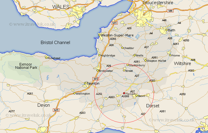
Somerset Map Showing Location of Martock
Population: 3962
Area Size (ha): 112
District: South Somerset
Easting: 347340 Northing: 118915
Latitude: 50.97 Longitude: -2.75
 = Martock
Area Size (ha): 112
District: South Somerset
Easting: 347340 Northing: 118915
Latitude: 50.97 Longitude: -2.75
= Martock
This Martock map below is supplied by Google. Use the tools in the top left corner to zoom into street level or zoom out for a road map, you may also need to zoom in to see Martock on the map. Click and drag the map to move around. If the map fails to load try and refresh your browser or zoom in or out (+ or -).
Update - it seems Google no longer allow people to use their maps for free! This Martock map sometimes loads and sometimes gives a error. I am working on a solution.
Closest 30 Towns or Cities to Martock (Population over 500)
Tintinhull 2.33km Montacute 2.98km Kingsbury 3.96km Kingsbury Episcopi 3.96km South Petherton 3.96km West Chinnock 5.56km Long Sutton 5.68km Ilchester 5.96km Yeovilton 6.91km West Coker 7.26km Haselbury Plucknett 7.42km Yeovil 8.38km Somerton 9.26km Langport 9.43km Mudford 9.52km Crewkerne 9.91km Curry Rivel 10.86km Misterton 11.66km Ilton 11.82km High Ham 12.06km Fivehead 12.24km Ilminster 12.25km Charlton Mackrell 12.55km Queen Camel 12.92km Sparkford 14.81km Stoke Saint Gregory 14.81km Stoke St. Gregory 14.81km Stoke St Gregory 14.81km Compton 15km Butleigh 15.54km