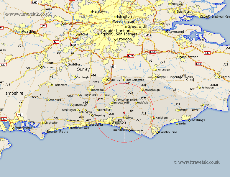
Sussex Map Showing Location of Cooksbridge
District: Lewes
Easting: 539449 Northing: 113104
Latitude: 50.9 Longitude: -0.02
 = Cooksbridge
Easting: 539449 Northing: 113104
Latitude: 50.9 Longitude: -0.02
= Cooksbridge
This Cooksbridge map below is supplied by Google. Use the tools in the top left corner to zoom into street level or zoom out for a road map, you may also need to zoom in to see Cooksbridge on the map. Click and drag the map to move around. If the map fails to load try and refresh your browser or zoom in or out (+ or -).
Update - it seems Google no longer allow people to use their maps for free! This Cooksbridge map sometimes loads and sometimes gives a error. I am working on a solution.
Closest 30 Towns or Cities to Cooksbridge (Population over 500)
Plumpton 2.99km Barcombe Mills Station 3.51km Lewes 3.7km Kingston near Lewes 5.56km Kingston 5.56km Chailey 6.03km Ditchelling 6.13km Ditchling 6.13km Ringmer 6.13km Isfield 6.92km Wivelsfield 7.26km Newick 7.77km Keymer 8.39km Hassocks 8.39km Fletching 9.9km Hurstpierpoint 10.68km Laughton 10.68km Baywards Heath 10.95km Haywards Heath 10.95km Burgess Hill 11.04km Uckfield 11.04km Rottingdean 11.36km Saltdean 11.37km Maresfield 11.61km Lindfield 11.66km Framfield 11.89km Brighton 11.94km Albourne 12.26km Chalvington 12.95km Horsted Keynes 12.98km