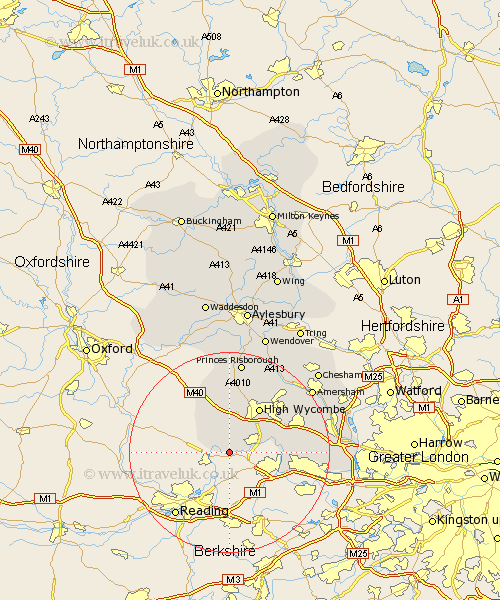
Buckinghamshire Map Showing Location of Medmenham
Population: 960
District: Wycombe
Easting: 479728 Northing: 184136
Latitude: 51.55 Longitude: -0.85
 = Medmenham
District: Wycombe
Easting: 479728 Northing: 184136
Latitude: 51.55 Longitude: -0.85
= Medmenham
This Medmenham map below is supplied by Google. Use the tools in the top left corner to zoom into street level or zoom out for a road map, you may also need to zoom in to see Medmenham on the map. Click and drag the map to move around. If the map fails to load try and refresh your browser or zoom in or out (+ or -).
Update - it seems Google no longer allow people to use their maps for free! This Medmenham map sometimes loads and sometimes gives a error. I am working on a solution.
Closest 30 Towns or Cities to Medmenham (Population over 500)
Hambleden 2.19km Great Marlow 6.05km Marlow 6.05km Lane End 7.5km Little Marlow 8.87km West Wycombe 9.89km Bourne End 10.53km Wycombe 10.91km Chepping 10.91km High Wycombe 10.91km Bradenham 11.64km Stokenchurch 11.64km Wooburn 11.67km Flackwell Heath 11.76km Taplow 12.11km Penn 13.7km Hughenden 13.73km Burnham 14.32km Radnage 14.87km Dorney 14.91km Hazlemere 15.2km Beaconsfield 15.97km Farnham Royal 16.24km Hedgerley 17.38km Little Missenden 18.13km Prestwood 18.52km Bledlow 18.57km Princes Risborough 18.68km Great Missenden 19.63km Longwick 20.38km