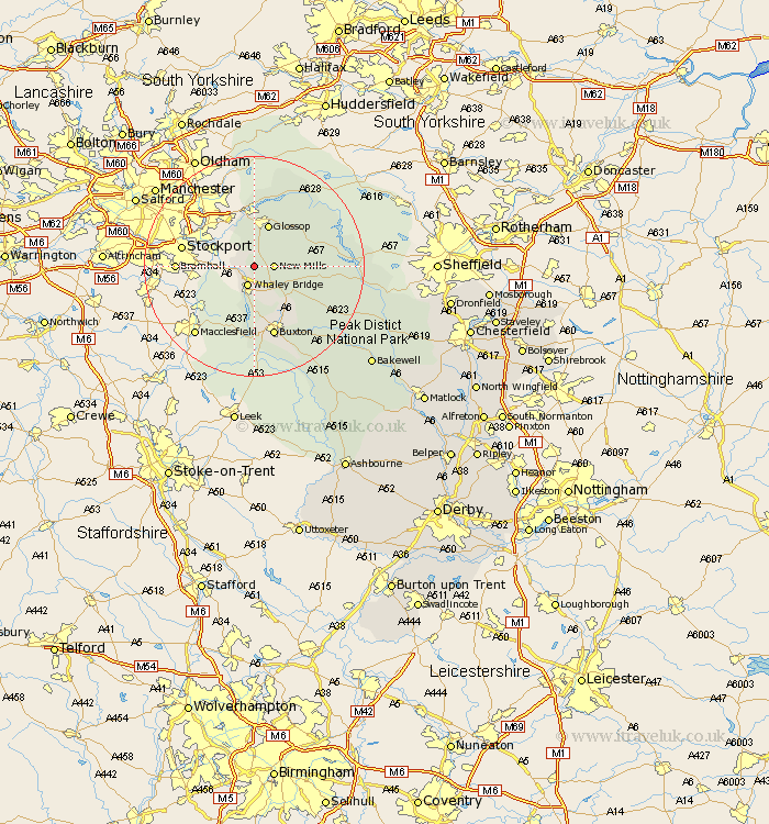
Derbyshire Map Showing Location of Birch Vale
District: High Peak
Easting: 402217 Northing: 385566
Latitude: 53.37 Longitude: -1.97
 = Birch Vale
Easting: 402217 Northing: 385566
Latitude: 53.37 Longitude: -1.97
= Birch Vale
This Birch Vale map below is supplied by Google. Use the tools in the top left corner to zoom into street level or zoom out for a road map, you may also need to zoom in to see Birch Vale on the map. Click and drag the map to move around. If the map fails to load try and refresh your browser or zoom in or out (+ or -).
Update - it seems Google no longer allow people to use their maps for free! This Birch Vale map sometimes loads and sometimes gives a error. I am working on a solution.
Closest 30 Towns or Cities to Birch Vale (Population over 500)
Hayfield 2.15km New Mills 3.32km Whaley Bridge 3.87km Chapel en le Frith 7.11km Charlesworth 7.73km Glossop 8.15km Tintwhistle 11.12km Tintwistle 11.12km Buxton 13.39km Castleton 13.78km Hope 14.5km Bradwell 15.42km Tideswell 17.32km Bamford 18.89km Hathersage 21.75km Eyam 21.98km Longstone 23.11km Great Longstone 23.11km Stony Middleton 23.79km Stoney Middleton 23.79km Grindleford Bridge 24km Grindleford 24km Bakewell 27.23km Baslow 27.59km Middleton 27.77km Youlgreave 28.44km Holmesfield 31.29km Darley Dale 33km Winster 33.43km Barlow 33.98km